
Gratis gids 10 verborgen natuurplekken in Europa
Gratis gids 10 verborgen natuurplekken in Europa. Meld je aan voor onze nieuwsbrief en ontvang inspirerende reistips en routes voor je volgende groene reis.

The Texel Group is South Tyrol’s largest nature park. The area is bordered to the south by Merano, to the west by the Schnalstal Valley, to the east by the Passeiertal Valley, and to the north by the main Alpine ridge. The Texel Group is home to roe deer, chamois, mountain marmots, and ibex. It is located near the area where Ötzi lived, around 3,300 B.C.
We asked the owner of Paloria, a sustainable vacation apartment complex in Algund, about the most beautiful hikes in the area. She recommended one of the most spectacular and varied day hikes in the Texel Group: the trail from Vellau to the Leiter Alm, Hochhanghaus, and back to the Leiter Alm via the Spronser Seen lake group. It takes you through lush mountain landscapes, past the most beautiful mountain lakes, and over breathtaking passes.
Read about this challenging but beautiful hike. The total distance is approximately 20–22 kilometers.
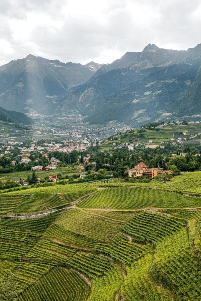
The hike begins in the picturesque mountain village of Vellau. It is situated on a hill with a beautiful view of the valley. From the center of Vellau, follow the marked hiking trail toward the Leiter Alm. The trail climbs steadily through forests and open alpine meadows, offering views of the surrounding vineyards and the city of Merano along the way.
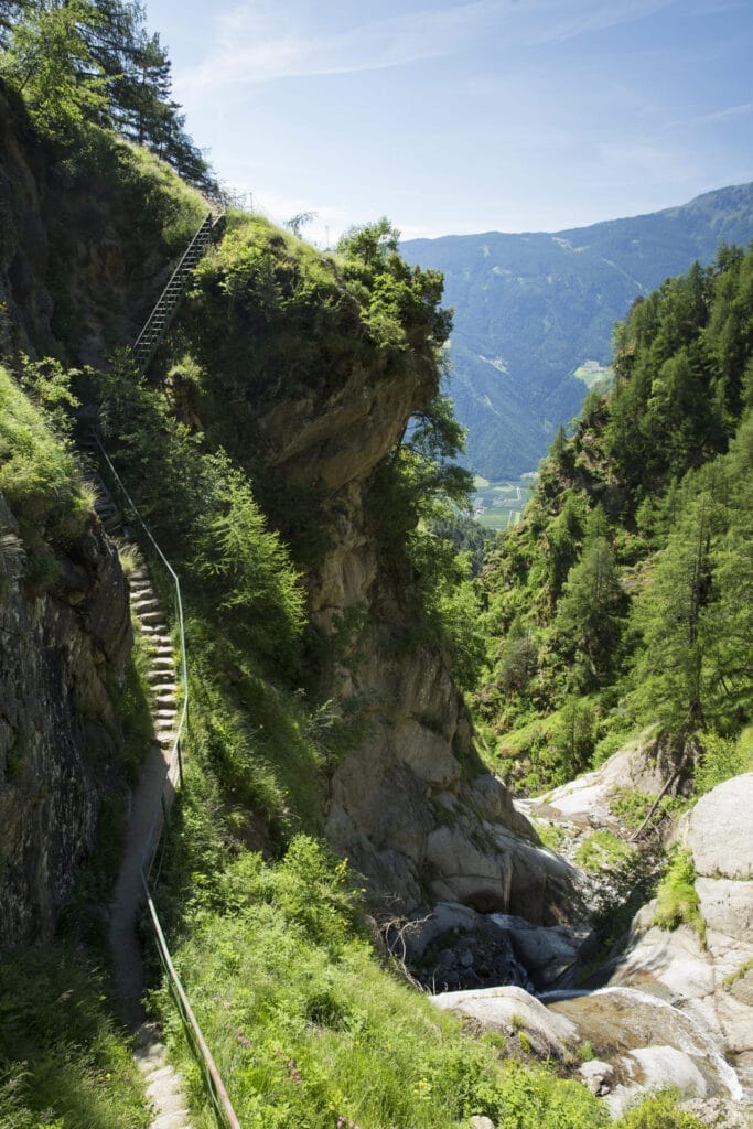
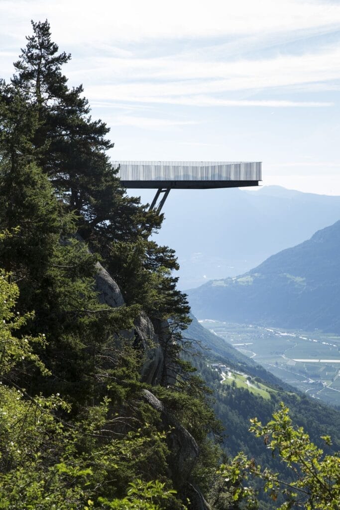
The first part of the hike takes about 1.5 to 2 hours and is relatively easy, although the trail gets steeper as you get closer to the Leiter Alm. This cozy and traditional mountain restaurant is located at an altitude of 1,550 meters and is a pleasant spot to catch your breath and enjoy local delicacies such as apple strudel or a hearty speck platter. From the terrace, you’ll have a stunning view of Merano.
Approx. 3 kilometers, difficulty level *****
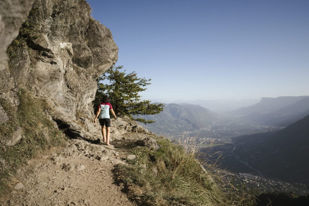
After the break, continue along the famous Meraner Höhenweg toward the Hochganghaus. Here you’ll enjoy stunning panoramic views of the surrounding mountain peaks and deep valleys. The trail is well-maintained but narrow and steep in places, making it more challenging. The hike to the Hochganghaus takes about 2 hours, depending on your pace.
Approx. 4 kilometers, difficulty level *****
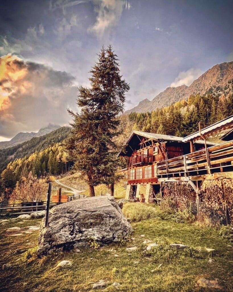
From the Hochganghaus, the climb begins to the Hochgangscharte, a mountain pass at an altitude of about 2,450 meters. This is a challenging section with steeper stretches and loose rocks, but the view at the top is more than worth the effort. The pass offers a magnificent panorama of the Spronser Seen, a group of 10 clear blue mountain lakes known as the highest and largest group of lakes in South Tyrol.
Approx. 5 kilometers, difficulty level *****
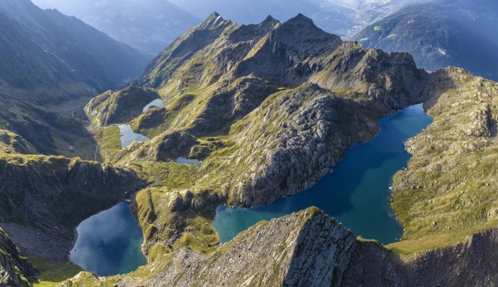
The route continues along the lakes and leads you to the Oberkaser Alm, a mountain hut where you can enjoy the tranquility of nature and the fresh mountain air while savoring a cheese platter. This part of the route is less steep and gives you a chance to catch your breath and take in the beautiful scenery.
Approx. 3 kilometers, difficulty level *****
From the Oberkaser Alm, the trail climbs up to the Taufenscharte, a pass offering impressive views of the surrounding mountain landscape. The descent from this pass is steep and requires your full attention and caution. This section of the route can be challenging due to the rugged terrain, but it eventually leads back to the Leiter Alm, where you can relax and enjoy a well-deserved rest.
Approx. 6 kilometers, difficulty level *****
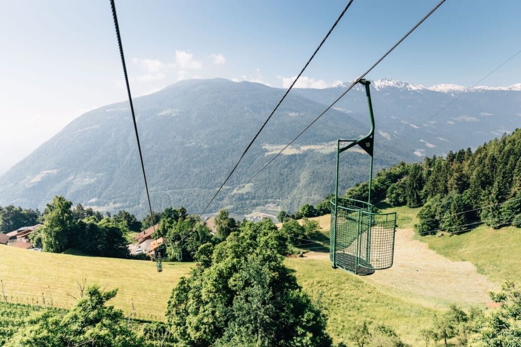
If you still have enough energy, you can walk back to Vellau along the same trail you took to get there. If you’ve had enough walking and want to get back faster, there’s a cable car that will easily take you back down to the valley.
This hike is best done in the spring and fall. The mountain huts are usually closed from mid-October through April.
The Meraner Höhenweg is a 92-kilometer trail that winds through the Texelgruppe Nature Park. This route—marked with the number 24—takes you through the area in 5 to 8 day hikes. The Meraner Höhenweg has several entry and exit points, allowing you to start the hike at different locations or descend into the valley. The access points are easily reachable by cable car, public transportation, or car. Read more about the different stages of this route here.
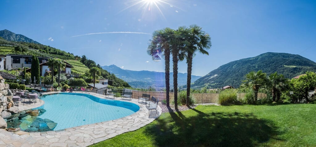
Paloria is located in Algund. Here you’ll find beautiful apartments with a pool, sauna, and hot tub. The owner is an avid hiker, trail runner, and cyclist herself. She’d be happy to tell you more about the trails you can explore in the area.
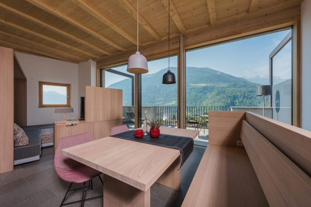
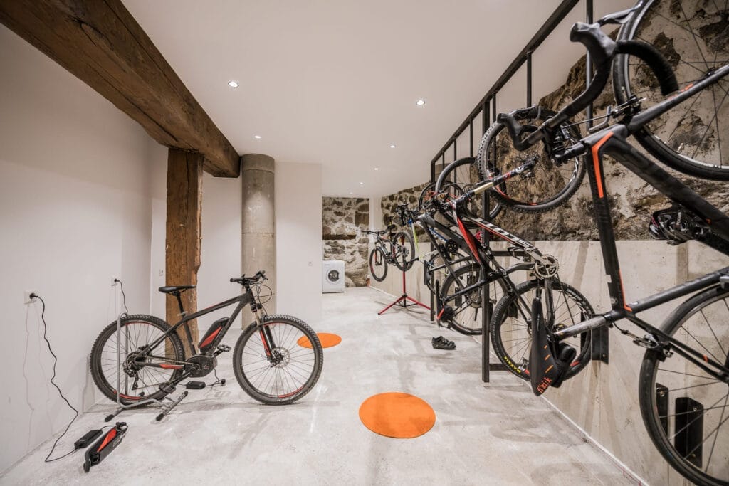
This route offers the perfect combination of physical challenge and natural beauty in the serene mountain landscape of South Tyrol.
In addition to this day hike, the Texel Group offers many other hiking trails for all skill levels.
Header photo credit: IDM South Tyrol-Alto Adige – Alex Filz

With a passion for travel and photography and over 30 years of experience in the travel industry, I love to share my special nature travel tips. Travel is wonderful and important, you meet new people and cultures and it opens your view of the world.
Hiking to Trondheim along ancient pilgrimage trails What’s it like to hike for days along ancient pilgrimage trails to Trondheim? During a trip through Sweden and Norway, I hiked several sections of the St. Olavsleden. From the open border mountains near Skalstugan to...
Hiking the St. Olav Trail: Route, Stages, and Tips A thousand years ago, Olav Haraldsson traveled this road northward in search of his crown. He met his death at Stiklestad and was canonized three years later. Since then, pilgrims have followed the same route: from...
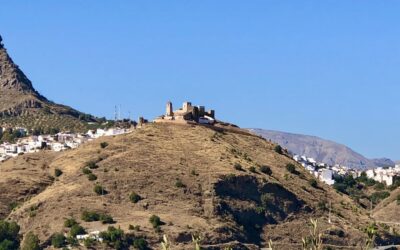
Just twenty minutes past the coast lies a completely different Málaga Twenty minutes by car from Málaga Airport, the highway turns into a winding road leading into the mountains. The coast disappears behind you, and ahead lie olive and almond trees, karst rocks, and...
Get inspired
Are you looking for the most beautiful hiking and biking routes? Or do you want information about traveling by train or advice for the most beautiful road trips through nature. Get inspired for your next trip in green; ideas for planning your own trip or opting for an organized trip.