
Gratis gids 10 verborgen natuurplekken in Europa
Gratis gids 10 verborgen natuurplekken in Europa. Meld je aan voor onze nieuwsbrief en ontvang inspirerende reistips en routes voor je volgende groene reis.

Vast beaches, seawater in the most beautiful shades of blue, green fields. Hiking along the Opal Coast means becoming one with nature—with a touch of history here and there.
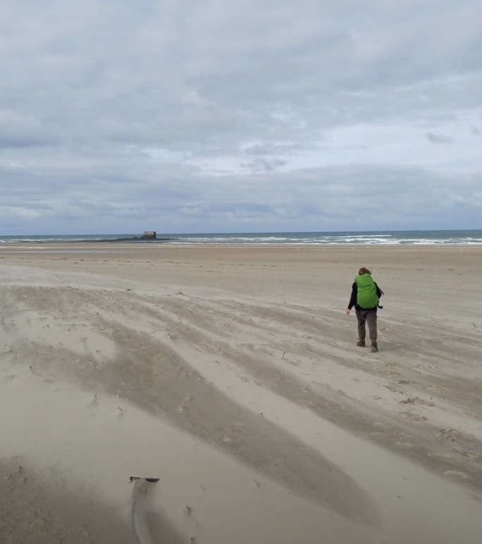
A vast beach, countless white beach huts, a walker here and there. Everywhere I look, sand and more sand. The patterns left behind by the receding water are still completely intact. A true work of art. I’ve just left the town of Calais behind me and am setting out on a journey of just under 60 kilometers that will take me along the Côte d’Opale, or the Opal Coast.
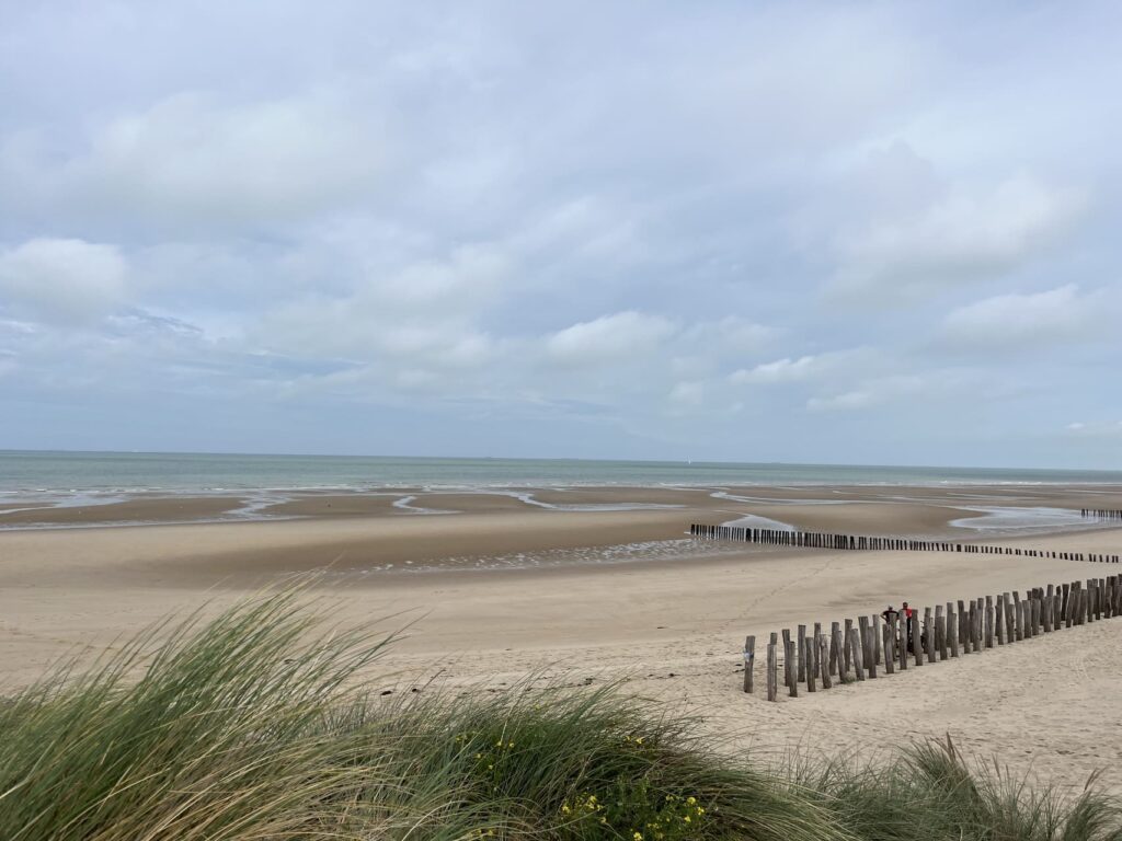
The name didn’t just come out of thin air. The French painter Édouard Lévêque coined it in 1911, when he compared the ever-changing colors of the sky and sea to the reflections of a semi-precious stone: the opal.
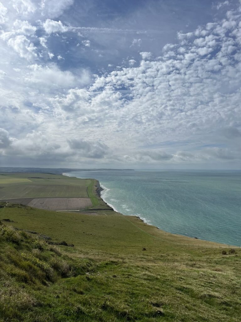
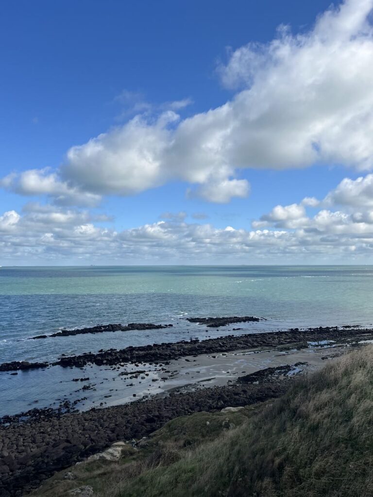
He wasn’t exaggerating at all. For the first few kilometers, I was mostly just amazed. The sun on the water really does conjure up all kinds of colors: light blue, turquoise, dark blue—all mingling in the rippling waves. I thought this was something you’d only see near tropical islands. But look at that—just a few hours’ travel from the Netherlands, I feel as if I’m on the other side of the world for a moment.
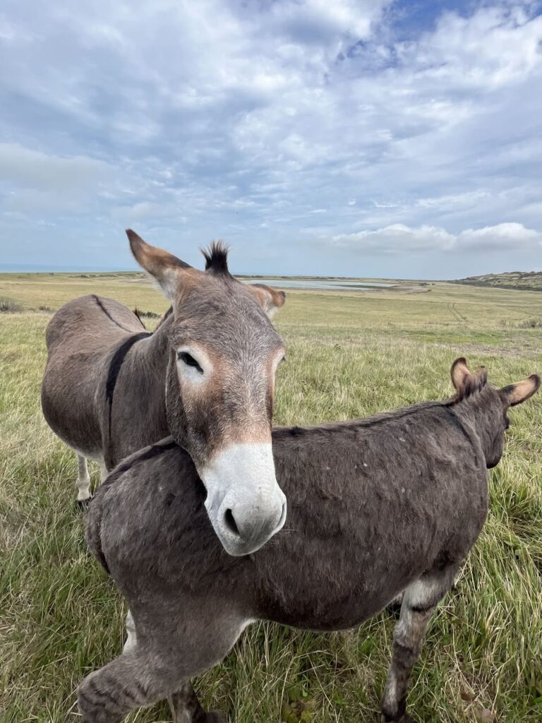
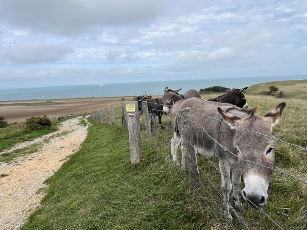
With the wind in my hair, I walk toward Cap Blanc-Nez, the first of the two capes I’ll be passing. Although I hardly come across anyone, there’s plenty of activity on the water: ferries making the crossing to Dover, cargo ships passing through the English Channel heading north or south, and the occasional fishing boat. After a few kilometers along the beach, I walk through green fields, up hill and down hill, hearing nothing but the crunch of my shoes on the gravel path. A small group of donkeys looks at me curiously.
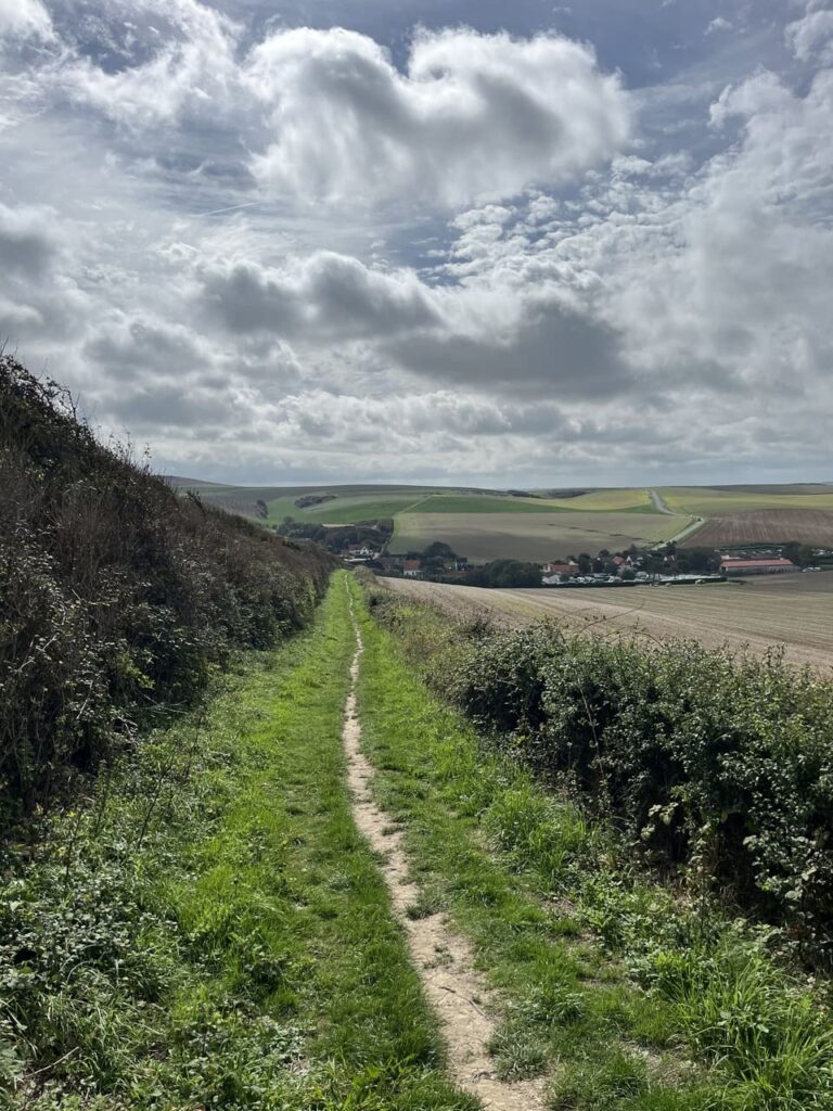
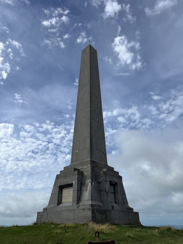
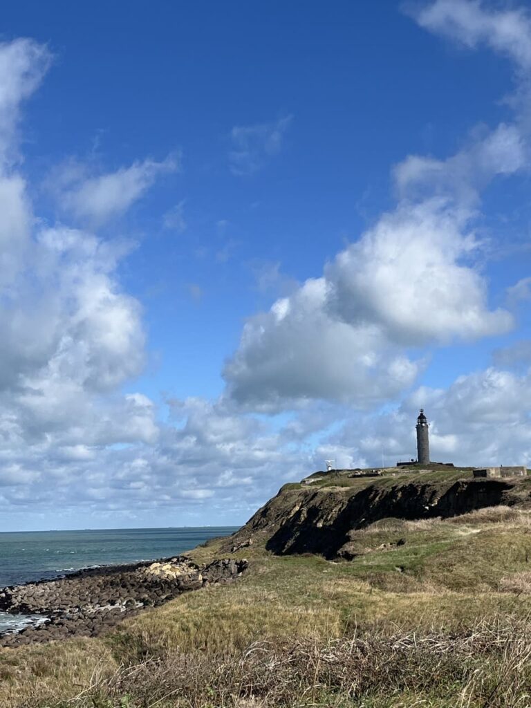
After more than 11 kilometers, I reach Cap Blanc-Nez, marked by “Dover Patrol”—a monument in the shape of an obelisk commemorating the Allied fleet that patrolled the English Channel during World War I. In any case, this hike isn’t just about nature. Every so often, a bunker appears on the horizon—a remnant of wartime.
Cap Blanc-Nez, together with Cap Gris-Nez—a bit further on—is part of the “Grand Site des Deux-Caps,” a 23-kilometer-long protected coastal strip. Standing on this cape, 134 meters high, with the chalk cliffs below me, the white cliffs on the other side loom into view. Dover, England, is the closest point here, about 30 kilometers away. As long as the sun is shining, I’ll continue to see the cliffs for the rest of the trip.
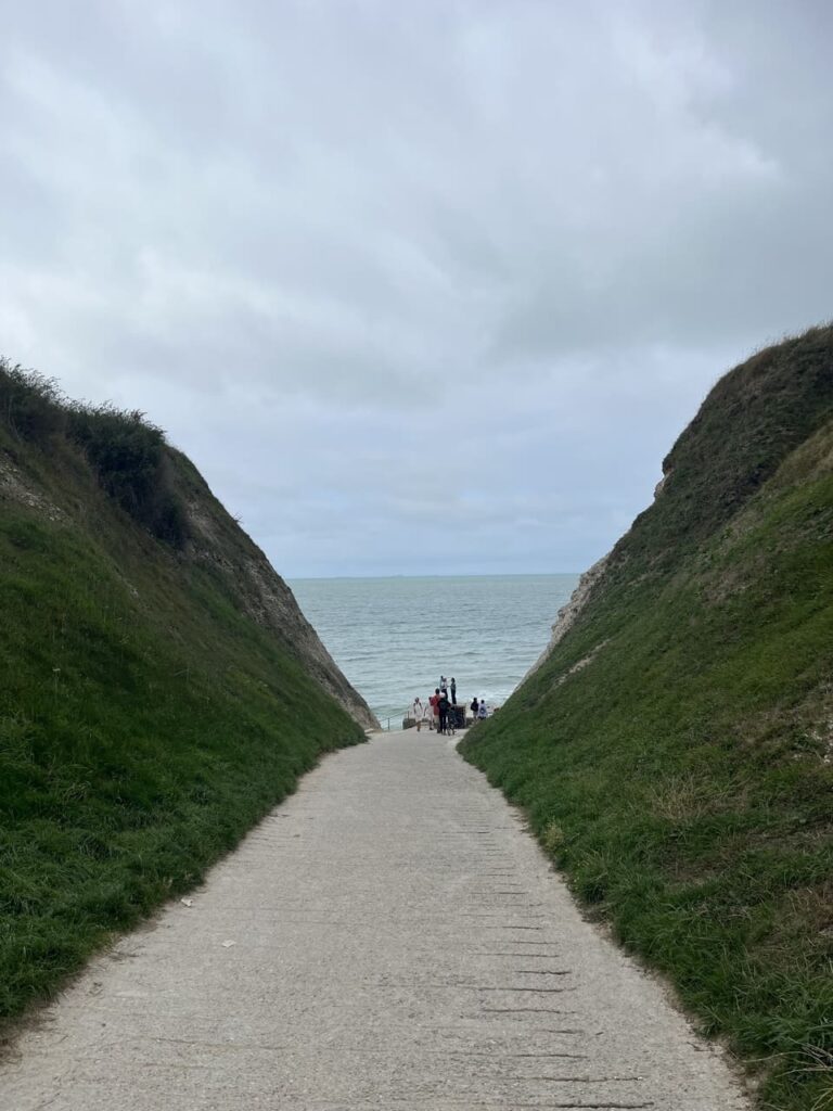
As I head back down, a little further on I come to a unique passage leading to the sea—a crevice between the high cliffs, formed by erosion, through which a small path has now been built. At low tide, you can walk out onto the beach here; at high tide, you can watch and listen from a small set of steps as the crashing waves pound against the cliffs.
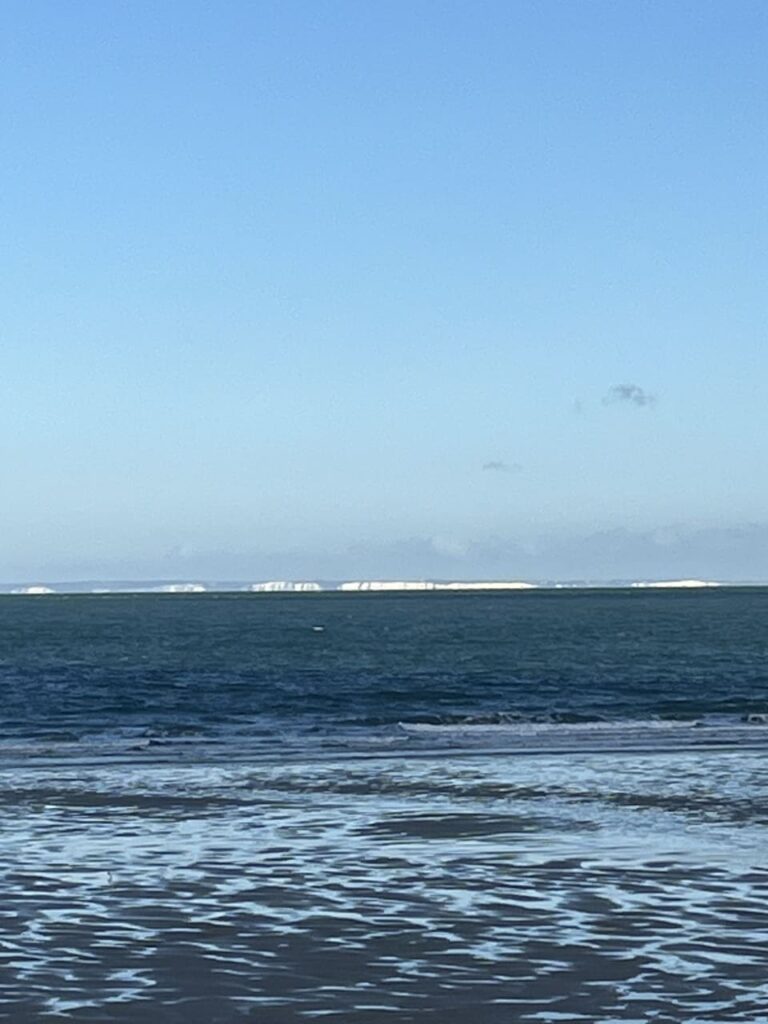
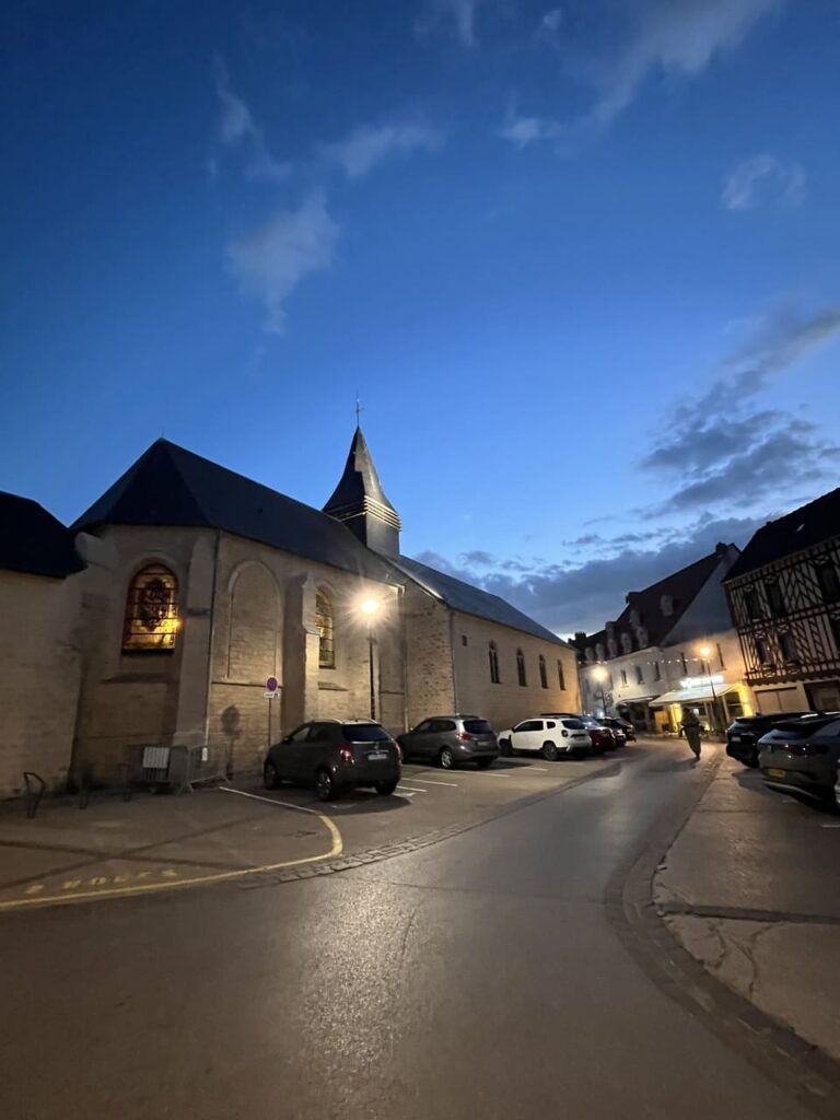
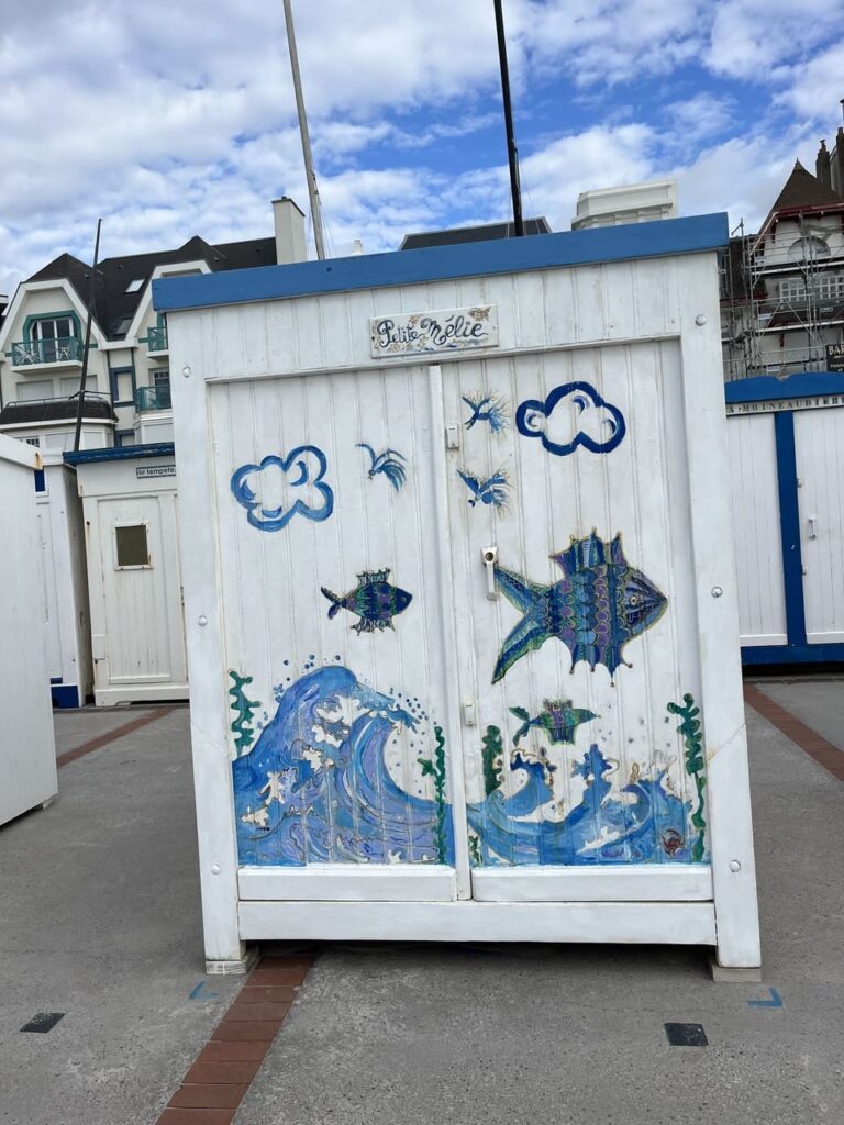
As the tide slowly but surely rises and the water draws ever closer, I walk the last few kilometers along the beach toward the seaside village of Wissant. To actually enter the village, I have to step over large boulders to keep my feet dry. By late afternoon, not a single centimeter of beach is visible. While windsurfers compete here for the national title, I set out to find a place to sleep. White, stately villas, built by the elite in the late nineteenth century, give way toward the center to half-timbered houses surrounding a charming little square.
The next morning, I find myself once again on a vast beach. Ahead of me, in the distance, I can see Cap Gris-Nez; behind me, I can just make out the obelisk at Cap Blanc-Nez. This is Wissant Bay. For the first few kilometers, I walk along the beach, the sound of the sea in my ears. As the beach gets narrower and narrower, and large boulders take over, a few houses also come into view. Here, I head into the dunes to reach the second cape: Cap Gris-Nez.
This second cape is busier. As a result, separate walking trails have been marked out here to explore the cape. Detailed information signs tell visitors about the history of this place—about the customs officers who worked here in 1900, the last lighthouse keeper, and the battles and bombardments that took place here during World War II.
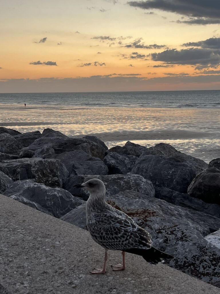
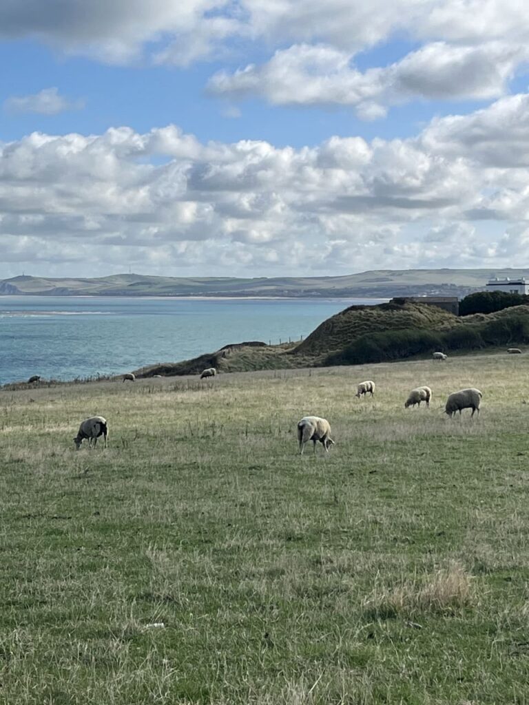
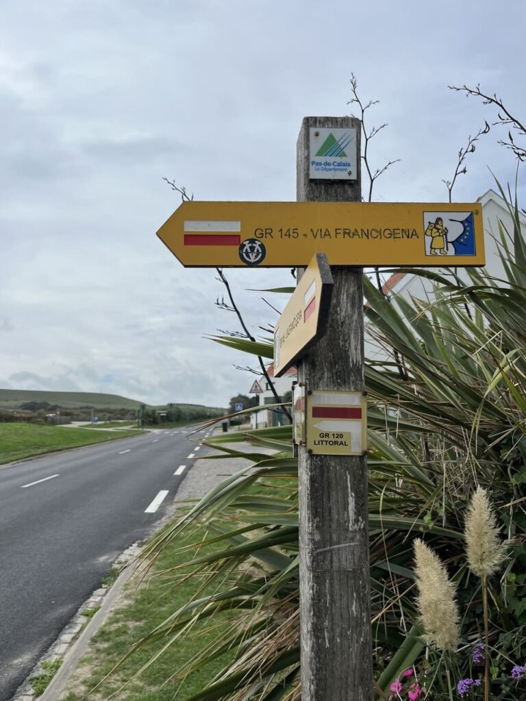
While the official GR120 now heads a short distance inland, I prefer the coast. The sound of the sea, the beautiful colors—it’s addictive. There’s a lovely trail here, too, that offers a continuous view of the ocean. The splendor of the colors is even more beautiful than it was near Calais. The green of the meadows and the turquoise of the water only serve to enhance each other. Sheep graze lazily, and every so often a bunker looms into view. I walk on like this for kilometers—sun, wind, nature. And always those white cliffs across the way. This is pure enjoyment.
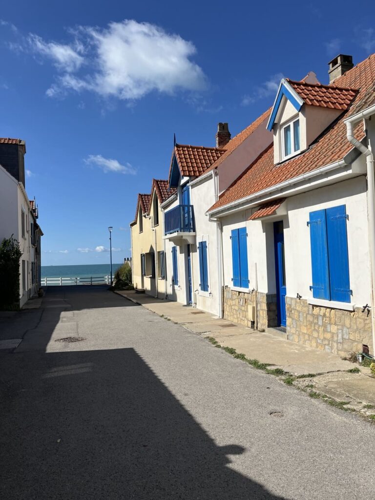
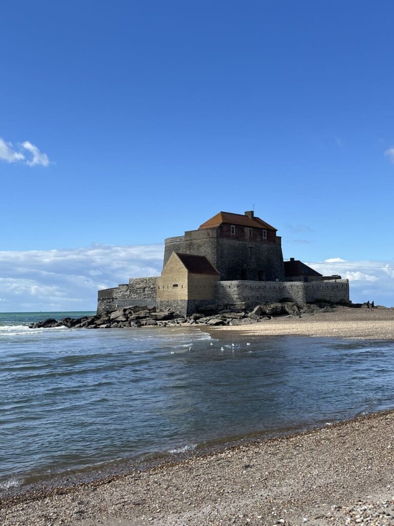
The first village I come across is Audresselles, a charming little fishing village where it’s especially quiet. White houses with colorful windows, a small square with a few seafood restaurants. I rejoin the GR120 and sense that I’m approaching civilization. After Audresselles, I soon walk into the village of Ambleteuse, where an old fortress in the sea really stands out.
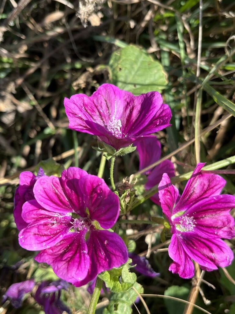
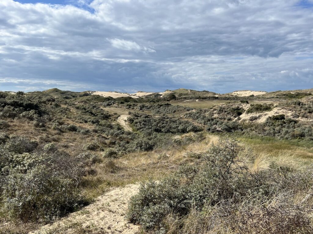
To my great surprise, after Ambleteuse I suddenly find myself in the woods. This is where the protected dune area known as the Dunes de la Slack begins, dotted here and there with pine trees planted to hold the sand in place. With about 18 kilometers already under my belt, this means I’ve got my work cut out for me. For kilometers on end, I plow through loose sand. It’s a challenge, but a very beautiful one. Everywhere I look, I see dunes, with marram grass swaying in the wind. It takes a moment to get used to it: it’s quiet here—for the first time, no sound of strong winds or raging waves. Just the rustling of leaves, the buzzing of an insect. And always that bright blue ocean not too far away.
Before I reach Boulogne-sur-Mer—my destination for today after 25 kilometers—I pass through Wimereux. It’s a seaside resort with that typical old-world charm. Stately yet charming buildings in all sorts of soft colors, a wide boulevard where people eat ice cream and waffles, enjoying each other’s company and the surroundings.
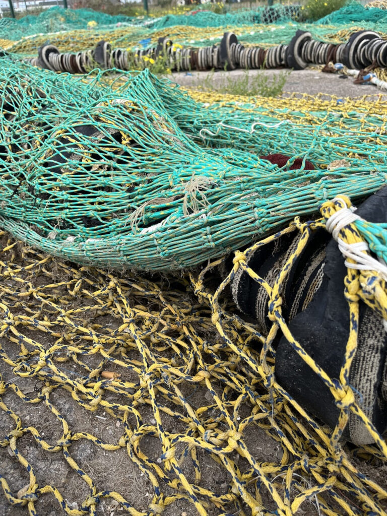
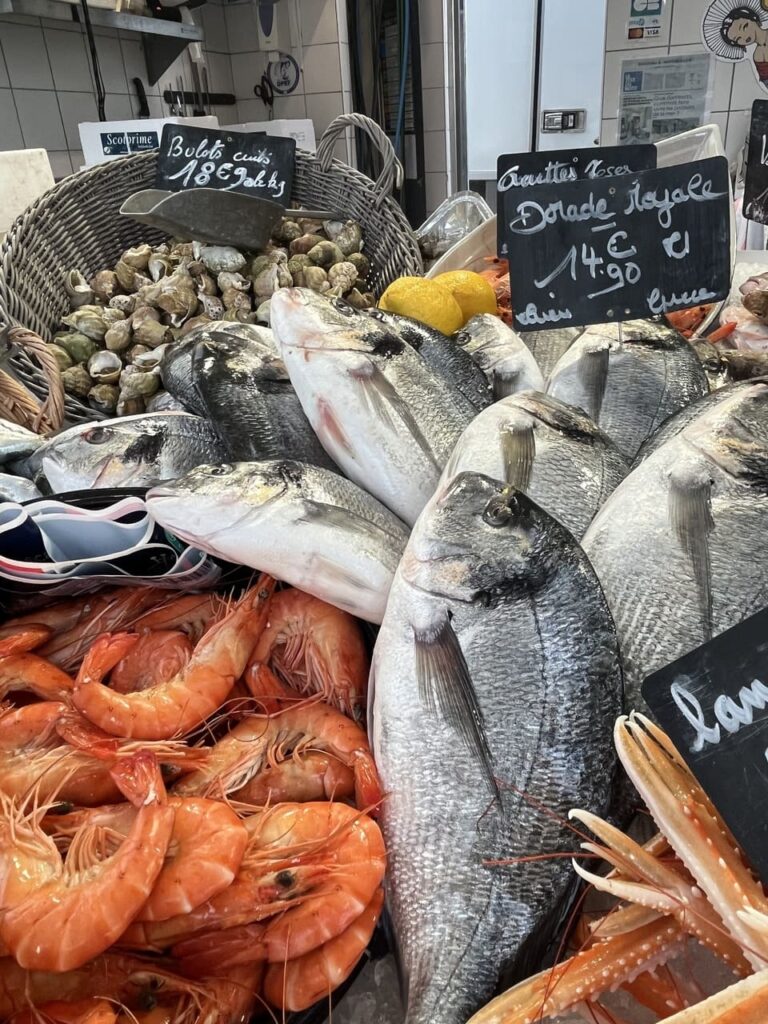
Arriving in Boulogne-sur-Mer means taking a stroll through the harbor. Above me stands the dome of the Notre-Dame Basilica in the historic center, the only part of the city to have survived World War II. The harbor area was destroyed and rebuilt. Today, it is France’s largest fishing port, where tens of thousands of metric tons of fish are landed and processed each year.
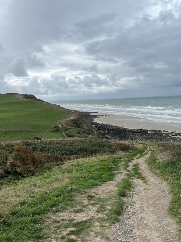

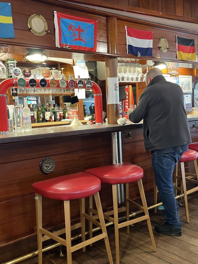
As I walk through the harbor, I see the hustle and bustle of fishermen, fish processors, and market vendors. By around ten o’clock, the busiest part of the day is already over. In a small eatery, fishermen are drinking coffee or having a bite to eat. Once I’ve passed the harbor and see the young dunes where the hovercraft once departed for Dover, I head toward Équihen-Plage. It’s raining nonstop, and the wind has picked up a notch compared to the past few days, so it’s a real struggle. Now that I know how beautiful it is here in better weather, I can look past the rain and see that this route, which follows the coast the whole way, is another little gem.
After the seaside resort of Équihen-Plage, the route takes me a short way inland. I walk through meadows and fields toward Château d’Hardelot, where the cozy tea house is a welcome place to take a break.
About an hour’s drive from the coast lies the town of Saint-Omer, surrounded by a unique UNESCO biosphere reserve with more than 700 kilometers of navigable waterways. It’s well worth setting aside a day to explore this area.
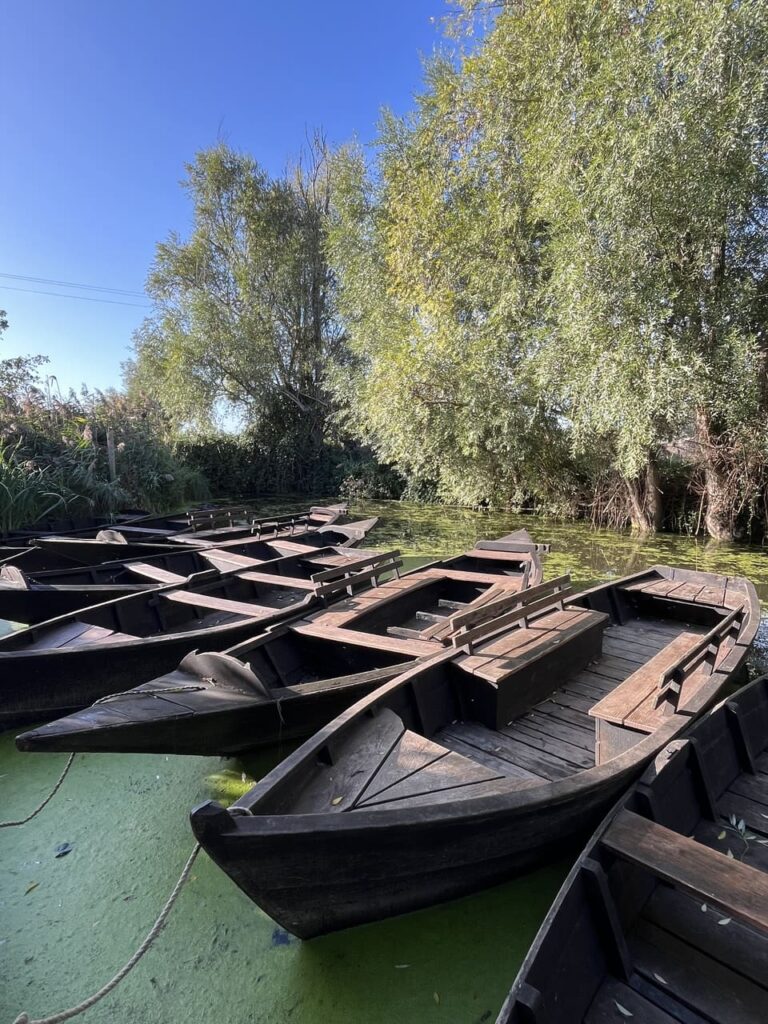
Starting from the last traditional shipyard in the marsh, Les Faiseurs de bateaux, we sail in an authentic wooden boat through narrow and sometimes slightly wider waterways. It’s an idyllic little trip under wooden bridges, with overhanging willows and ducks in or along the water. Some 200 different bird species live throughout the area. At the same time, real life goes on here as well. We pass by detached houses and fields where vegetables grow. This marshland is home to France’s only remaining active “vegetable marsh,” where cauliflower is the primary crop. While many marshes elsewhere in France were completely filled in for large-scale arable farming, the Saint-Omer marsh remained intact and is still farmed using traditional methods.
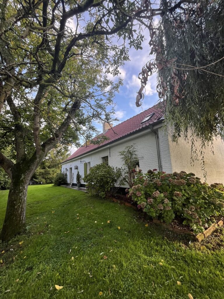
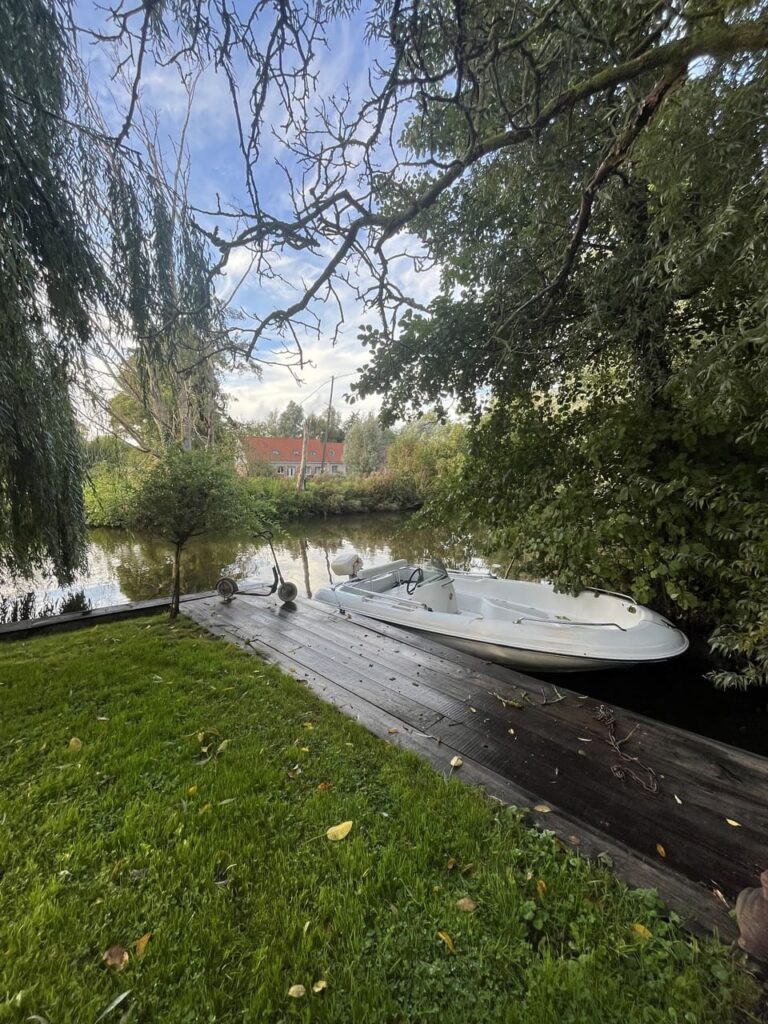
In the evening, I sleep in a farmhouse located on a small island in the marsh. The name, “La Fermette de Marie Grouette,” is based on the legend of the marsh witch Marie Grouette, who is said to have lived deep in the dark waters of the marsh. My hostess, Muriël, picks me up in a small boat; I stay in a beautiful butterfly-themed room and have the enormous garden all to myself. Here, peace is true peace, and silence is true silence.
| Stage | Distance | Overnight Stay |
| 1. Calais – Wissant | 18.5 km | Wissant |
| 2. Wissant – Boulogne-sur-Mer | 25 km | Boulogne-sur-Mer |
| 3. Boulogne-sur-Mer – Château d’Hardelot | 13 km | – |
| Total | 56.5 km |
You can shorten the second stage by, for example, spending the night in Ambleteuse or Wimereux. You’ll then walk the remaining kilometers on the third day.
From the Netherlands, you can reach Calais (as a starting point) by taking a train via Brussels to Lille. From there, take a local train to Calais. Trains depart from Boulogne-sur-Mer to Lille, allowing you to travel back to the Netherlands. Taking a Vacation by Train.
The route from Calais to Château d’Hardelot is approximately 56.5 kilometers, divided into three stages: Calais–Wissant (18.5 km), Wissant–Boulogne-sur-Mer (25 km), and Boulogne-sur-Mer – Château d’Hardelot (13 km). The entire GR120 is 175 kilometers long and runs from De Panne in Belgium to Le Tréport in Normandy.
From the Netherlands, take the train via Brussels to Lille. There, transfer to a local train to Calais. For the return trip, take the train from Boulogne-sur-Mer to Lille and from there back to the Netherlands.
The name Côte d’Opale was coined in 1911 by the French painter Édouard Lévêque. He compared the ever-changing colors of the sky and sea to the reflections of opal, a semi-precious stone.
Yes, the route is well marked with red-and-white markers. If you want to stay on the coast where the GR120 heads inland—such as between Cap Gris-Nez and Audresselles—you can easily do so because there is only one coastal path.
Both directions are possible. If you walk from south to north, you’ll usually have the wind at your back.
You’ll only find places to eat in the villages along the route, and restaurants close at 2:00 p.m. So be sure to bring your own food. You can spend the night in the villages along the way, at small hotels, bed-and-breakfasts, and campgrounds. If you want to shorten the second stage, stay overnight in Ambleteuse or Wimereux.
Part of the route runs along the beach. At high tide, the water reaches the cliffs and boulders—as at Wissant, where there may be no beach left by late afternoon. At the passage to the sea near Cap Blanc-Nez, you can walk onto the beach at low tide. So be sure to keep an eye on the tides.
About an hour from the coast lies the Saint-Omer Marsh, a UNESCO biosphere reserve with more than 700 kilometers of navigable waterways. Saint-Omer is accessible by train from Calais and Boulogne-sur-Mer. In Calais, you can climb the belfry and see the Dragon of Calais; in Boulogne-sur-Mer, you can visit the basilica’s crypt, explore the street art routes, and visit the Nausicaá aquarium.

Hi, I'm Mariëlle, and have been able to turn my passions - writing and travel - into my work. I love adventure and nature. I like to camp with my camper van somewhere in a forest, take long walks in nature, walk caminos in Spain or train with my son through the Balkans. There is so much beauty to do, see and discover in nature, and so many beautiful people to meet, that I would like to share those experiences on Nature Travel Lab.

With a passion for travel and photography and over 30 years of experience in the travel industry, I love to share my special nature travel tips. Travel is wonderful and important, you meet new people and cultures and it opens your view of the world.
Dovrefjell in the Fall: Musk Ox Safari from Oppdal A musk ox doesn't run away. If danger threatens, it either stands its ground or charges right at it. That works against a wolf, but not against a train. That's what our guide, Hannes, tells us as we walk across the...
Hiking to Trondheim along ancient pilgrimage trails What’s it like to hike for days along ancient pilgrimage trails to Trondheim? During a trip through Sweden and Norway, I hiked several sections of the St. Olavsleden. From the open border mountains near Skalstugan to...
Hiking the St. Olav Trail: Route, Stages, and Tips A thousand years ago, Olav Haraldsson traveled this road northward in search of his crown. He met his death at Stiklestad and was canonized three years later. Since then, pilgrims have followed the same route: from...
Get inspired
Are you looking for the most beautiful hiking and biking routes? Or do you want information about traveling by train or advice for the most beautiful road trips through nature. Get inspired for your next trip in green; ideas for planning your own trip or opting for an organized trip.