
Gratis gids 10 verborgen natuurplekken in Europa
Gratis gids 10 verborgen natuurplekken in Europa. Meld je aan voor onze nieuwsbrief en ontvang inspirerende reistips en routes voor je volgende groene reis.

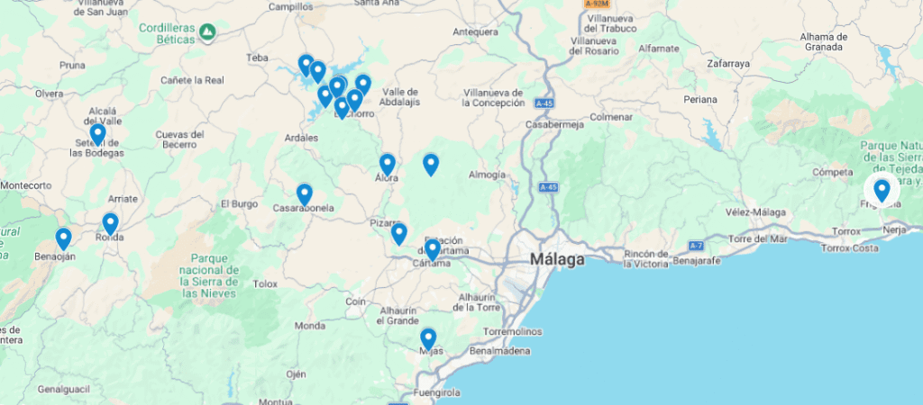
Twenty minutes by car from Málaga Airport, the highway turns into a winding road leading into the mountains. The coast disappears behind you, and ahead lie olive and almond trees, karst rocks, and white villages nestled against the mountainsides. This is the Guadalhorce Valley, named after the river that flows through it: the tranquil, agricultural hinterland of the Costa del Sol, with Álora as its natural center.
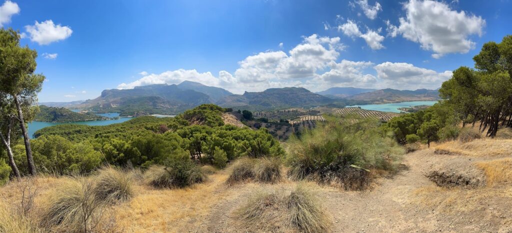
Most visitors to this corner of Andalusia are only familiar with the coast. If you drive half an hour inland, you’ll find a completely different area: less touristy, more natural, and with enough variety of sights to easily spend a week there without repeating any of them.
Álora is one of the region’s most authentic white mountain villages and is located in the heart of the Guadalhorce Valley. Above the village lie the ruins of a Moorish castle; from here, you can look out over the town’s red roofs and the green valley surrounding it. In the morning, the village is bustling: residents drink coffee in the square, run errands, and meet up at the church. Between 2:00 and 6:00 p.m., during the siesta, it becomes remarkably quiet.
Álora has a train station with connections to Málaga and is considered the most logical starting point if you want to visit the Caminito del Rey.
Cártama actually consists of two towns: the modern Cártama de Estación down below and the smaller, older Cártama further up. From that old town center, a winding path leads up to a small white church and, a little higher still, the ruins of an old fortress. The view from up there over the Guadalhorce Valley is one of the most beautiful, lesser-known spots in the region.
The region’s most famous hike is the Caminito del Rey, a spectacular trail that clings high to the cliffs of the Desfiladero de los Gaitanes, the deep gorge near El Chorro. The trail is popular and operates with a limited number of tickets per day, so be sure to book well in advance. If you’d rather hike without the crowds, you’ll find five alternative routes in the same area below—with just as many great views and far fewer people.
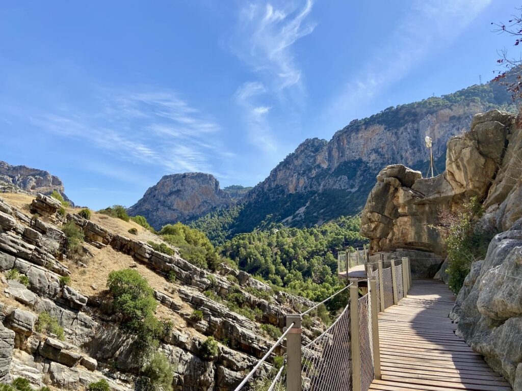
If you’re looking for a different side of Andalusia—one that’s quieter and less photographed—you’ll find a handful of trails around El Chorro and Álora that are every bit as good as the famous Caminito del Rey. We discovered these five tips through the owners of Finca Las Nuevas, who know the area like no one else.
This route starts on the same trail as the Caminito del Rey and passes through a dark little tunnel, where most hikers turn left toward the gorge. If you turn right, you’ll soon find yourself walking almost alone along a wide trail with views of the Embalses del Guadalhorce-Guadalteba reservoirs, whose turquoise waters contrast beautifully with the green pine trees.
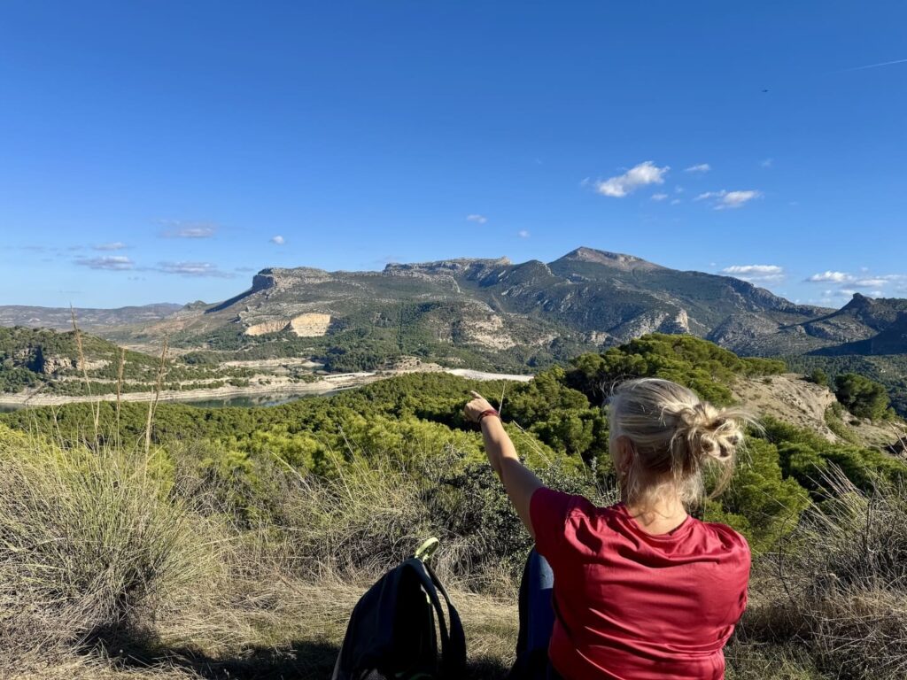
Further along, the trail leaves the wide path and winds its way up the mountain. At the Mirador de las Buitreras, you’ll often see griffon vultures soaring, with the Caminito del Rey gorge serving as an impressive backdrop. The route continues to climb from there, offering ever-changing views of the lakes and the Andalusian countryside.
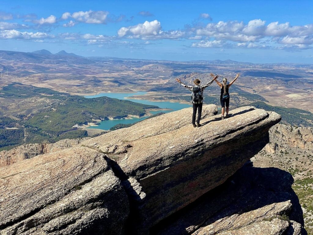
For those who love a tough challenge. A zigzagging trail through a pine forest and old steps carved into the rock takes you upward, with the Caminito del Rey soon appearing like a ribbon far below you. After passing through a stretch of farmland dotted with almond trees, the climb begins toward the barren summit of La Huma, at an elevation of 1,191 meters: first along a path strewn with loose boulders, then over smooth rock to the highest point. If you look closely, you’ll spot an ammonite here and there in the rocks—a distant reminder of the time when this mountain range was still below sea level.
This hike begins in El Chorro, the end point of the Caminito del Rey, but immediately heads in the opposite direction, away from the crowds. The trail winds upward, past a small reservoir belonging to a hydroelectric power plant, into the forest, all the way to the entrance of Bobastro: the ancient Moorish settlement, highlighted by its famous church carved out of the rocks. The return trip follows the same path, but with views of the vast Guadalhorce Valley instead of the mountains you saw on the way there.
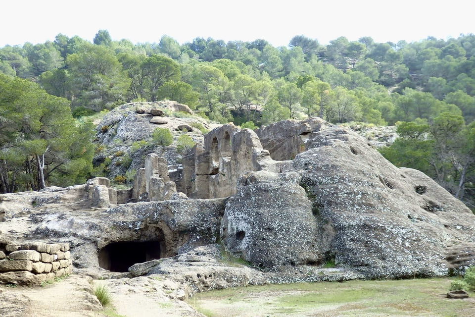
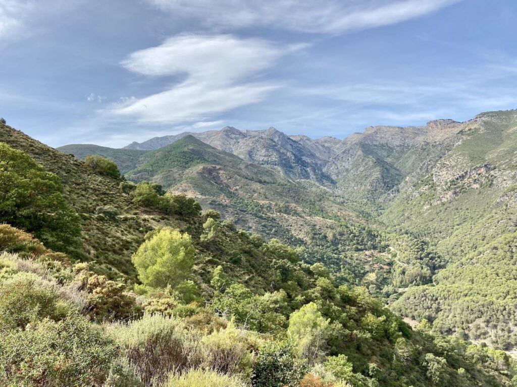
A varied, not-too-difficult route through coniferous forest, past steep rock faces and old, gnarled olive trees, with ever-changing views of the Andalusian countryside and the turquoise lakes below.
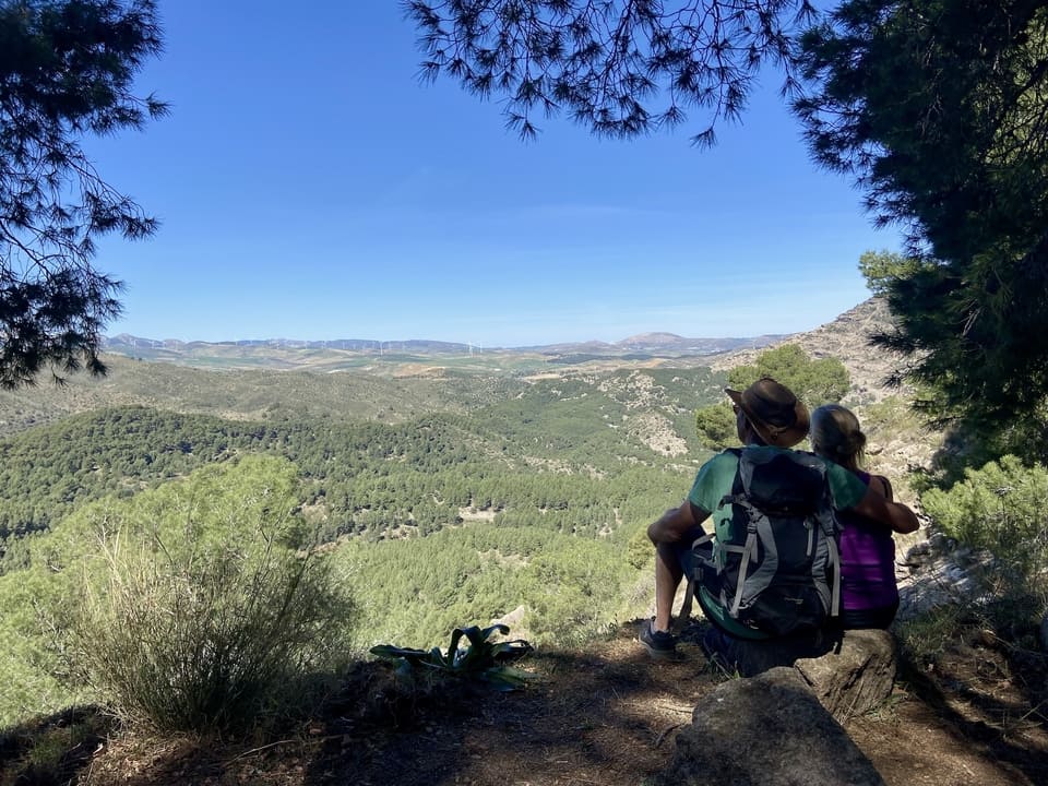
The quietest option of the five: a wide path beneath the pine trees, with occasional glimpses of the lakes. The area was inhabited as far back as prehistoric times; at the highest point, you can still see house foundations, cave dwellings, and rock engravings, along with informational panels that tell the story. This route is rarely walked, so you’re likely to enjoy a quiet moment all to yourself.
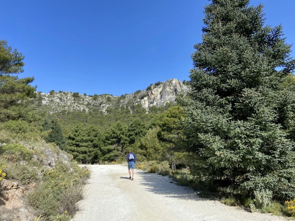
Less well-known than the Caminito del Rey, but just as impressive: the Sierra de las Nieves National Park. A UNESCO Biosphere Reserve since 1995 and officially designated as a national park in 2021—the third in Andalusia. The mountain range is known for the pinsapo, a rare Spanish silver fir found nowhere else in the world in such large numbers, as well as for the birds of prey and ibex that inhabit the area. Around the villages of Tolox and Yunquera, on the edge of the park, there are hiking trails for every skill level.
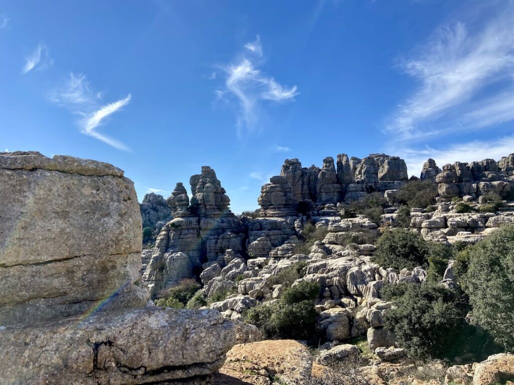
Near Antequera lies El Torcal Natural Park, known for its spectacular limestone formations shaped by erosion. Even if you don’t enjoy hiking, it’s worth a visit: the drive up to the visitor center alone offers sweeping views of Andalusia. For hikers, there are several trails winding through the rock formations, where you might spot birds of prey and wildlife.
Antequera itself is often overlooked in favor of the better-known cities of Málaga, Granada, and Seville—unfairly so. The city bears traces of the Romans, Moors, and later Spanish history: more than thirty churches, a Moorish fortress (the Alcazaba) that towers over the city, and a historic downtown with tapas bars and Renaissance buildings such as the Real Colegiata de Santa María la Mayor, Andalusia’s first Renaissance church.
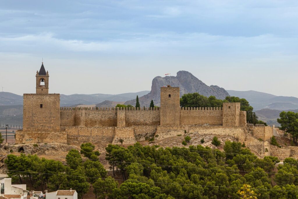
Just outside the city lie the dolmens of Antequera: prehistoric burial chambers more than 4,500 years old, built from enormous stone blocks and, from the outside, almost indistinguishable from a hill.
Dolmen de Menga and Dolmen de Viera are located next to each other, one kilometer outside the city center; Dolmen del Romeral is about five kilometers further away. The monuments are listed as a UNESCO World Heritage Site, partly because of their age and size, and partly because of their deliberate orientation toward La Peña de los Enamorados, a rock formation that resembles a reclining face and is associated with a tragic medieval love legend. A visit to Antequera can easily be combined with a trip to El Torcal, which is right next door.
The Guadalhorce Valley isn’t just appealing to hikers. Around Álora, sand and gravel trails wind their way up into the hills, winding through olive groves—ideal for mountain biking. Road cyclists, on the other hand, will find gently rolling, less steep roads in the valley itself, passing through Álora, Cártama, Pizarra, and Alhaurín el Grande, with plenty of opportunities to stop for coffee in a village square.
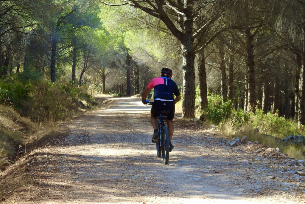
For those who enjoy climbing, the road from Cártama into the hills is a good test, known among local cycling clubs for its steep gradient. On your way to the Ardales lakes, you’ll also ride partly along a route that was once part of the Vuelta a España.
Near Ardales lies the Embalse del Conde de Guadalhorce, a turquoise reservoir close to the Caminito del Rey, a popular spot in the summer for swimming, stand-up paddleboarding, canoeing, and pedal boating. At the Zona Recreativa La Isla, for a small entrance fee, you’ll find shaded picnic tables, barbecue areas, and a kiosk. Further along the water’s edge are quieter, lesser-known spots for those who prefer to avoid the crowds. In July and August, there’s often a floating obstacle course in the lake.
The lake pairs well with two other nearby attractions: Bobastro and the Ardales Caves.
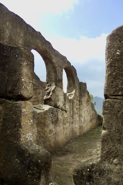
Bobastro is an archaeological site on a rocky plateau near El Chorro, once the stronghold of the rebel Omar Ben Hafsún, who held out here for decades against the Caliphate of Córdoba in the ninth century. The ruins include the remains of a castle, dwellings carved into the rock, water reservoirs, and a necropolis, but the main attraction is the Mozarabic rock church: the only known church of this type from the former “Al-Andalus,” carved entirely from sandstone.
Bobastro is small and laid-back, with limited opening hours that are best checked in advance, and it pairs well with a visit to the Ardales Lakes or the Caminito del Rey.
The Cueva de Ardales, also known as the Cueva de Doña Trinidad Grund, is a limestone cave above the village of Ardales containing hundreds of recorded prehistoric images and pigment markings. Research conducted in 2018 revealed that some of the red pigments in the cave may be more than 60,000 years old and were therefore likely created by Neanderthals rather than modern humans—a discovery that made international headlines at the time. The cave can only be visited with a guide, in small groups, starting from the Ardales Archaeological Museum. A unique outing for history lovers, and easy to combine with a visit to Bobastro and the lake, all within a 15-minute drive of each other.
If you want to drive a little farther for the day, you’ll end up in Ronda, dramatically perched above the El Tajo gorge, which is over 100 meters deep. The Puente Nuevo, the bridge connecting the old and new cities, is the city’s most famous landmark and is particularly impressive at sunrise and sunset. The old town, La Ciudad, dates largely from the Moorish period; the 14th-century Moorish bathhouse offers a good glimpse into daily life from that era. Since 2024, the gorge has also been accessible from below via the Caminito del Tajo, a short path that runs under the Puente Nuevo.
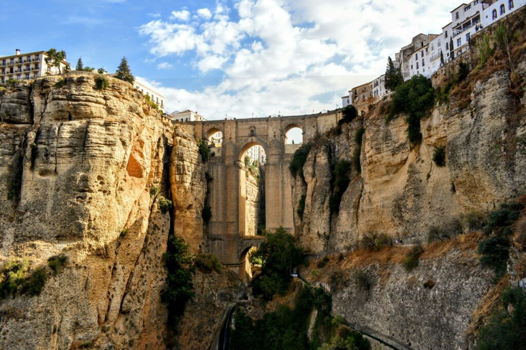
A day trip to Ronda can easily be combined with two other special places on the way back:
In addition to Álora and Cártama, there are other white villages in the area that are worth visiting. Casarabonela is a quiet white mountain village that attracts fewer tourists than the better-known Mijas Pueblo, which, with its views of the Mediterranean Sea and charming squares, remains a must-see on the coast of Andalusia.
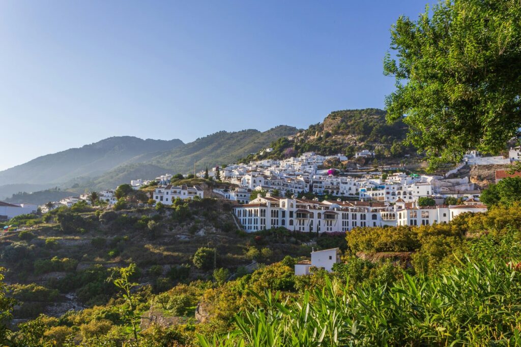
Frigiliana, often hailed as Spain’s most beautiful white village, is located in another part of the province, east of Málaga near the Sierra de Tejeda; read more about it in our article on peaceful southern Spain.
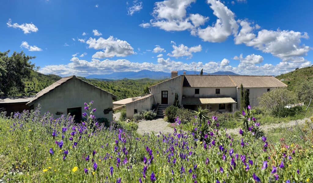
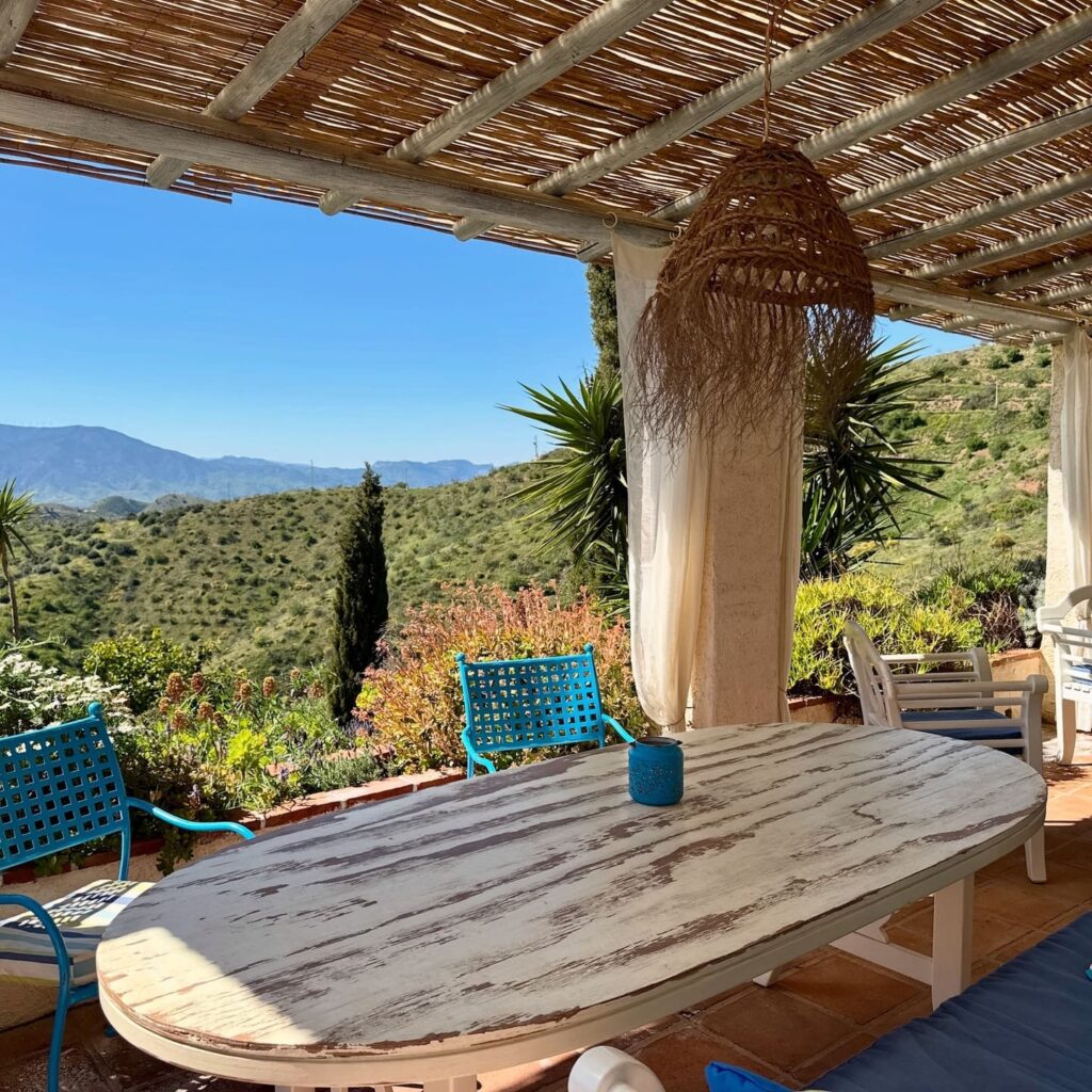
If you’d like to stay overnight in this area, then Finca Las Nuevas is a great option: a century-old, small-scale restored olive farm nestled in the hills between Álora and Cártama, featuring a shared pool, a wood-fired hot tub in the winter, and views of the Guadalhorce Valley and the Sierra de las Nieves. The finca is located within the municipality of Álora itself, making it a great starting point for all the places mentioned in this article, from the Caminito del Rey to Ronda.
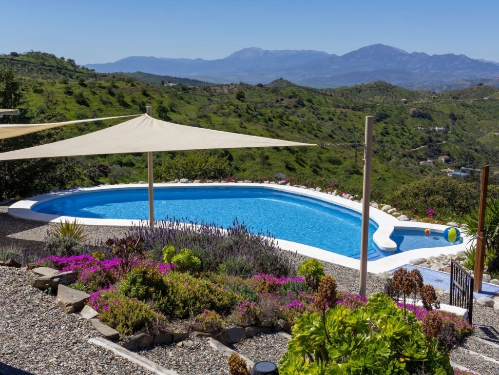
Spring and fall offer the most pleasant temperatures for hiking and biking. Summer is warmer, but that’s precisely when the pool and the Embalse del Conde de Guadalhorce come in handy. In winter, it’s quieter and cooler (and the hot tub at Finca Las Nuevas offers a nice alternative); Ronda and Antequera are also pleasant to visit then, without the summer crowds.
Yes. The Guadalhorce Valley is intentionally rural, with limited public transportation aside from the train service between Álora, Cártama, and Málaga. A car is practically essential for visiting the Sierra de las Nieves, El Torcal, Antequera, Ardales, Bobastro, and Ronda. From Málaga and the airport, expect a drive of about 30 to 45 minutes to Álora, and for day trips, allow 45 minutes to over an hour for more distant destinations such as Ronda.
Yes. The area is rural, and public transportation is limited to the train between Álora, Cártama, and Málaga. For nature reserves, villages, and day trips to places farther away, such as Ronda or Antequera, a car is practically a necessity.
Yes, and preferably well in advance. There’s a daily limit on the number of visitors, and tickets sell out quickly, especially during peak season.
Definitely. There are at least five great alternative hiking trails around El Chorro and Álora, ranging from the peaceful Necrópolis de las Aguilillas to the challenging climb to La Huma. Most start from the same point as the Caminito del Rey but quickly branch off from the crowds.
No. The Guadalhorce Valley around Álora lies west of Málaga; the Sierra de Tejeda, with villages such as Cómpeta and Canillas de Albaida, lies east of the city. They are two different mountain ranges, each with its own hiking area and white villages.
El Torcal and Antequera go well together, as do Bobastro, the Ardales Caves, and the Embalse del Conde de Guadalhorce, all three of which are located a short distance from each other near El Chorro. Because of the travel time, Ronda is best visited as a full-day trip, possibly combined with a visit to Setenil de las Bodegas.
No, the cave is accessible only with a guide and in small groups, to protect the fragile prehistoric drawings. Make a reservation in advance through the Giglon website.

With a passion for travel and photography and over 30 years of experience in the travel industry, I love to share my special nature travel tips. Travel is wonderful and important, you meet new people and cultures and it opens your view of the world.
Dovrefjell in the Fall: Musk Ox Safari from Oppdal A musk ox doesn't run away. If danger threatens, it either stands its ground or charges right at it. That works against a wolf, but not against a train. That's what our guide, Hannes, tells us as we walk across the...
Hiking to Trondheim along ancient pilgrimage trails What’s it like to hike for days along ancient pilgrimage trails to Trondheim? During a trip through Sweden and Norway, I hiked several sections of the St. Olavsleden. From the open border mountains near Skalstugan to...
Hiking the St. Olav Trail: Route, Stages, and Tips A thousand years ago, Olav Haraldsson traveled this road northward in search of his crown. He met his death at Stiklestad and was canonized three years later. Since then, pilgrims have followed the same route: from...
Get inspired
Are you looking for the most beautiful hiking and biking routes? Or do you want information about traveling by train or advice for the most beautiful road trips through nature. Get inspired for your next trip in green; ideas for planning your own trip or opting for an organized trip.