
Gratis gids 10 verborgen natuurplekken in Europa
Gratis gids 10 verborgen natuurplekken in Europa. Meld je aan voor onze nieuwsbrief en ontvang inspirerende reistips en routes voor je volgende groene reis.

The South West Coast Path is one of England’s national trails. It is the longest signposted hiking trail in England. The total length is 1,014 kilometers along the entire southwest coast of England. The route is divided into 8 stages. If you want to hike the entire trail, it will take you about 7 to 8 weeks. Read here to find out which sections are best to hike, the most scenic part of the route, where to stay overnight, and how to plan your trip.


The “Salt Trail” begins in the town of Minehead in Somerset on the southwest coast and runs entirely along the south coast to Poole Harbor in Dorset on the southeast coast. But of course, you can decide for yourself where you want to start and end your walk.


Of course, you can also complete the entire hike in several separate trips. For some reason, all the routes are described as going counterclockwise (starting in Minehead), but you can, of course, hike it in the opposite direction as well.
One of the most beautiful sections of the South West Coast Path is the part in Cornwall. You can hike this section in about 7–8 days.
You’ll start in Somerset and spend most of the route traveling through the beautiful Exmoor National Park in Devon. This section is about 56 km long and can be completed in about three days, with overnight stays in Porlock and Lynmouth, for example.
The section starting from Lynton is the flattest and offers stunning views. The Valley of the Rocks near Lynton is famous for the wild goats that roam there. See this route on the map below. Due to the significant elevation changes, don’t underestimate the distances.
Then you walk from Woolacombe to Braunton. Most of the route is along the beach. Baggy Point is a beautiful spot to stop for a while. Braunton Burrows is a protected nature reserve in northern Devon featuring one of England’s largest sand dune systems. This section is about 16 km.
You continue along the trail toward Westward Ho!, passing through villages on a somewhat easier route. This section is about 29 kilometers long.
You can also choose to take the bus for this easier section and then pick up the route again (if you’re looking for a bit more of a challenge on your hike). From Westward Ho! to Bude, the terrain gets a bit rougher again.
Learn more about this hiking route with luggage transport and accommodations arranged by our local specialist.

With a 35,000-meter elevation gain, the route can be challenging in places, with steep climbs and descents. But for an experienced hiker in good physical condition—and wearing good hiking boots—the route is perfectly manageable. Of course, you can have your luggage transported from point A to point B. See the practical tips section.

With a passion for travel and photography and over 30 years of experience in the travel industry, I love to share my special nature travel tips. Travel is wonderful and important, you meet new people and cultures and it opens your view of the world.
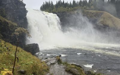
Hiking to Trondheim along ancient pilgrimage trails What’s it like to hike for days along ancient pilgrimage trails to Trondheim? During a trip through Sweden and Norway, I hiked several sections of the St. Olavsleden. From the open border mountains near Skalstugan to...
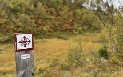
Hiking the St. Olav Trail: Route, Stages, and Tips A thousand years ago, Olav Haraldsson traveled this road northward in search of his crown. He met his death at Stiklestad and was canonized three years later. Since then, pilgrims have followed the same route: from...

Just twenty minutes past the coast lies a completely different Málaga Twenty minutes by car from Málaga Airport, the highway turns into a winding road leading into the mountains. The coast disappears behind you, and ahead lie olive and almond trees, karst rocks, and...
Get inspired
Are you looking for the most beautiful hiking and biking routes? Or do you want information about traveling by train or advice for the most beautiful road trips through nature. Get inspired for your next trip in green; ideas for planning your own trip or opting for an organized trip.