
Gratis gids 10 verborgen natuurplekken in Europa
Gratis gids 10 verborgen natuurplekken in Europa. Meld je aan voor onze nieuwsbrief en ontvang inspirerende reistips en routes voor je volgende groene reis.

In early July, I went on a trip to the Harz Mountains—my first visit to this forested region in central Germany. I drove from Goslar toward the Harz Mountains. We managed to squeeze in our first lovely hike along the way.
After spending the morning at the Rammelsberg Mines in Goslar, I didn’t drive straight to Braunlage, but took a detour via Clausthal-Zellerfeld (the B241) toward Hahnenklee. That’s where the Liebesbankweg is located—a roughly seven-kilometer loop trail around the Bocksberg, featuring 25 love benches and art installations along the route.
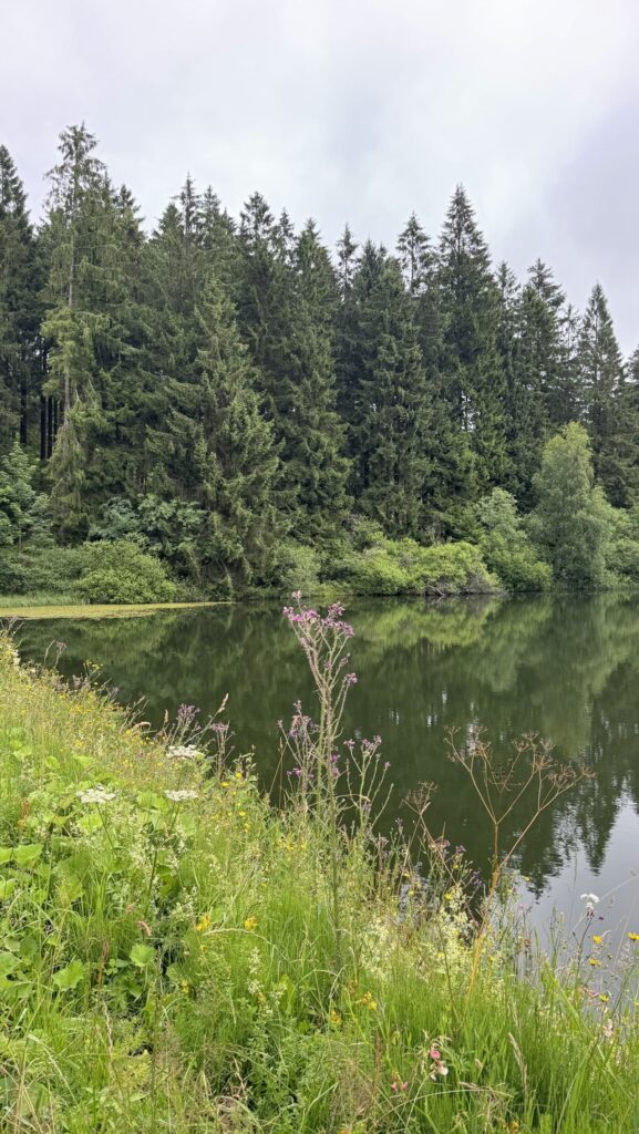

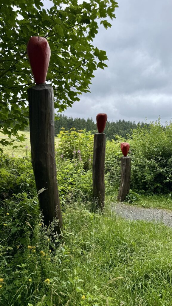
The route takes you chronologically past benches with names such as “first rendezvous” all the way to the “diamond wedding,” following in part the course of the Oberharzer Wasserwirtschaft, past a number of ponds and dams from that historic water management system.
It’s not a strenuous hike, but rather a collection of little stories along the way, with the occasional bench to sit down on for a moment. It’s just right as a stopover on a day when you’re already driving from one side of the Harz Mountains to the other.
The trail opened in 2007 and was, at the time, the first Premium Hiking Trail in the entire Harz region and Lower Saxony to be certified by the Deutsches Wanderinstitut, so this isn’t just any old local trail.
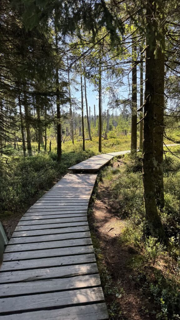
Torfhaus is the starting point for most of my hikes, and the raised bog area near the village was my first stop. A boardwalk cuts right through the marsh, with the Brocken visible in the distance whenever the fog clears. Short, accessible, and immediately a lesson in how slowly and vulnerably raised bogs recover. You can read the story behind this landscape—including what the biologist who guided us had to say about it—in the separate article on Harz National Park. Here, I’m mainly focused on the hike itself.
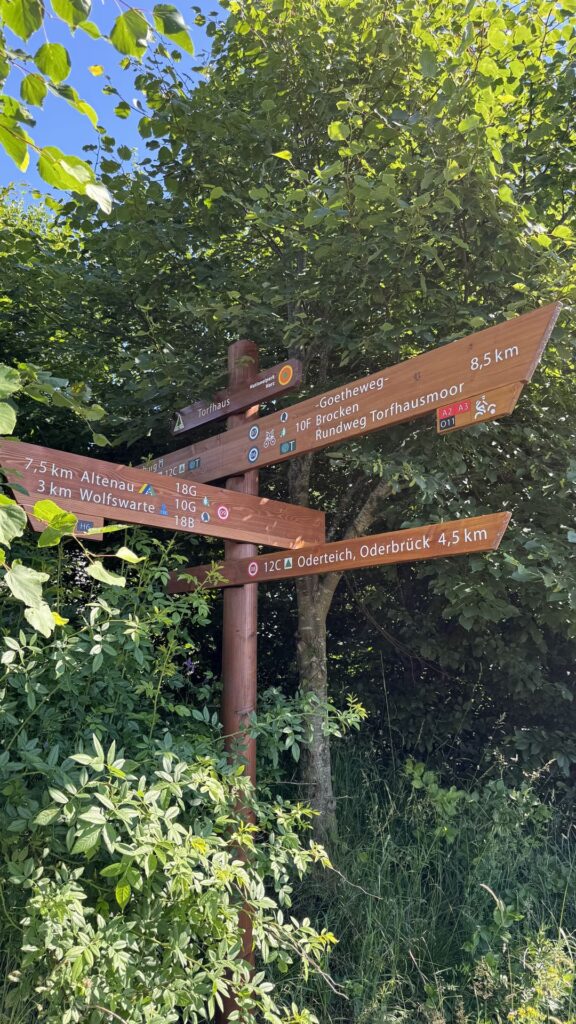
Near Torfhaus stands the Harzturm, an impressive observation tower that takes about ten minutes to climb (there’s also an elevator) and offers a view of a large part of the national park on a clear day. The Skywalk is a bit nerve-wracking if you’re afraid of heights, but it does offer some beautiful views.
Personally, I found the building particularly interesting from an architectural standpoint. Two Austrian architects (Dietmar Kaden and Markus Lackner) designed the iconic wooden structure; it resembles a twisted, hollow tree trunk and is inspired by the shape of a spruce cone that has been pried open. At the top of the 65-meter-tall tower, you’re at the highest point of the Harz Mountains: over 800 meters. For thrill seekers: you can ride down on a mat via the circular slide around the building (reaching speeds of up to about 25 km per hour). I found the skywalk to be quite a challenge as well, but it was spectacular.
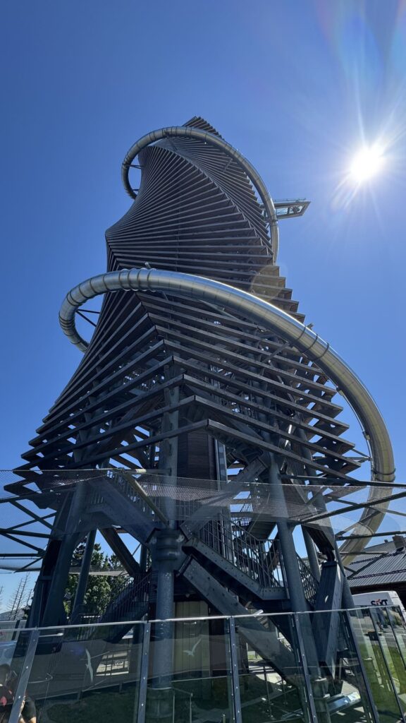
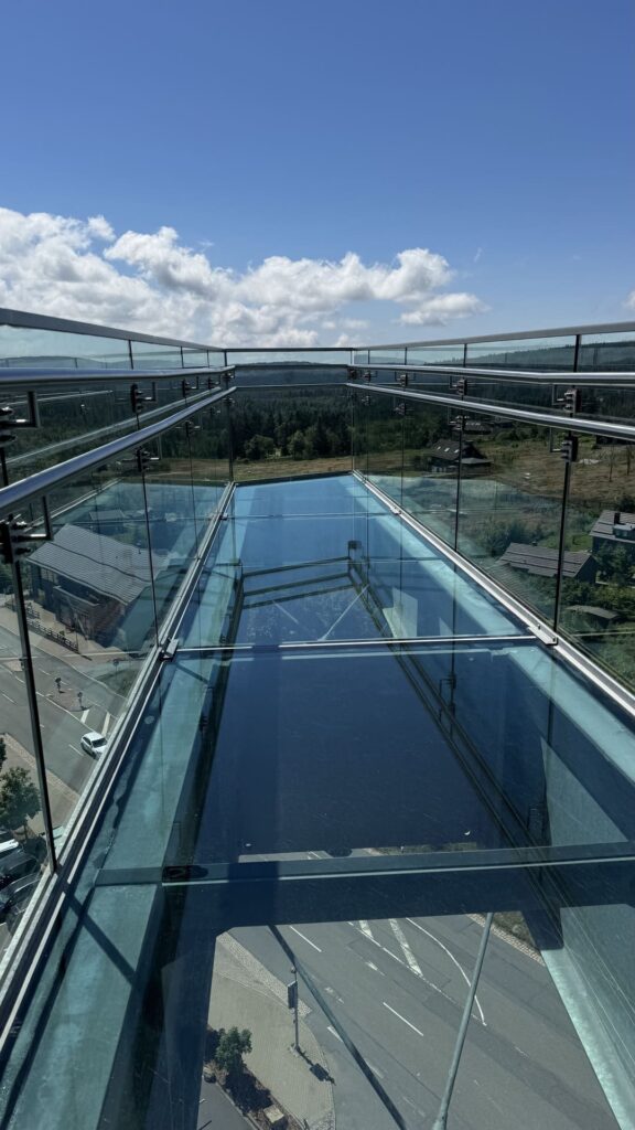
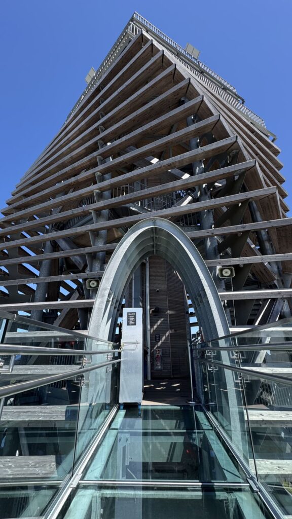
It’s not really a hike in itself, but it’s a stop worth making if you’re already in the area. The adjacent visitor center is also worth a visit. You’ll have to pay for parking (the first hour is free with your Harzturm ticket) and for admission to the Harzturm (about €13.90 for adults).
Lunch at the nearby Restaurant Wienerwald was delicious, and you can enjoy a cozy meal both indoors and outdoors right along the edge of the walking trail.
The Oderteich, located about seven kilometers northeast of Sankt Andreasberg, was constructed between 1715 and 1722 by miners from Sankt Andreasberg and was Germany’s largest dam until the end of the nineteenth century. Together with the rest of the Oberharz Water Management System, it has been listed as a UNESCO World Heritage Site since July 2010.
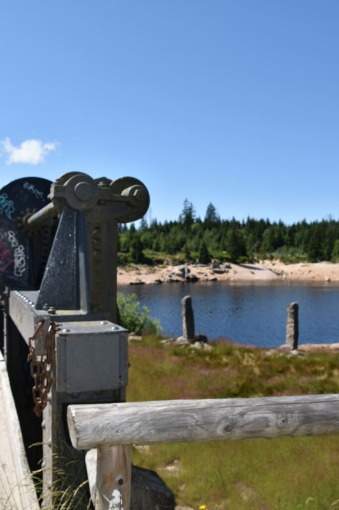
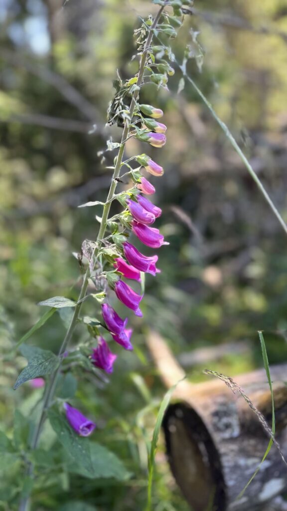

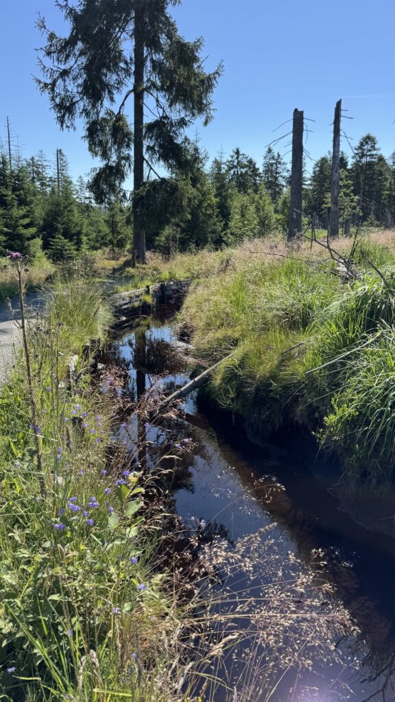
The loop around the lake is about four kilometers long, with only one trail, so you don’t have to worry about getting lost. Dead spruce trees, young forest, boardwalks, and little bridges over babbling water alternate along the way. The water is brown in color due to the heathlands where the Oder River has its source (not because of pollution). A section of the Harzer-Hexen-Stieg runs along the eastern shore, so you’ll sometimes share the trail with hikers who are on a much longer trek.
TIP: We walked the route counterclockwise from the starting point, and I thought this was the most scenic way because it takes you from the edge of the trail to a path that eventually becomes more wooded. There is plenty of (free) parking across the street from the starting point.
At Torfhausmoor, we joined a national park biologist on a hike, and afterward he gave us a list of trails that go beyond the well-known classics around Torfhaus and the Brocken:
For these four, please check the current signage on-site; the trails in the park are being adjusted.
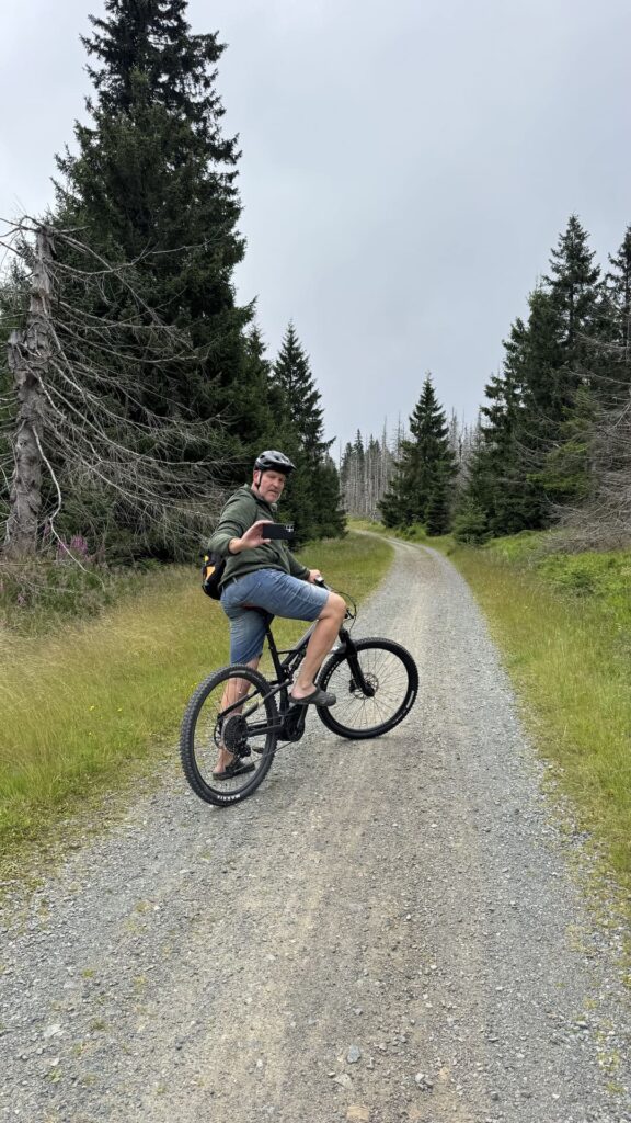
I didn’t hike the Brocken myself, but I had a constant view of the mountain while riding the B1 Höhenfieber route on an e-mountain bike. This beautiful route (mostly through a ski resort) runs through the higher parts of the Harz Mountains, close to the former border, and passes the two highest peaks of the western Harz Mountains. Short detours to the Wurmberg and the Achtermannshöhe (the latter on foot) are well worth it, as is the Hahnenkleeklippe with its view of the Oder Valley.
The short trail sections don’t require any special technique, which is especially noticeable on an e-bike: it’s mainly about gaining elevation, not a test of agility.
Physically demanding, but not technically challenging. A single route that takes in several of the mountain range’s highlights. More efficient than hiking if you’re short on time but still want to see a lot.
An alternative route is the B2 Achtermann. And in any case, Braunlage is a paradise for cyclists and mountain bikers. There are plenty of options for everyone from beginners to die-hard enthusiasts. I rented the e-mountain bike from Linus Bikes in Braunlage.

My base for this trip was Braunlage, a village that looks small on the map but offers access to just about every significant trail in the western Harz Mountains within a quarter of an hour. The village feels a bit deserted at this time of year, but it got a little busier as the weekend approached. In the center of the village is a beautifully landscaped park with a pond.
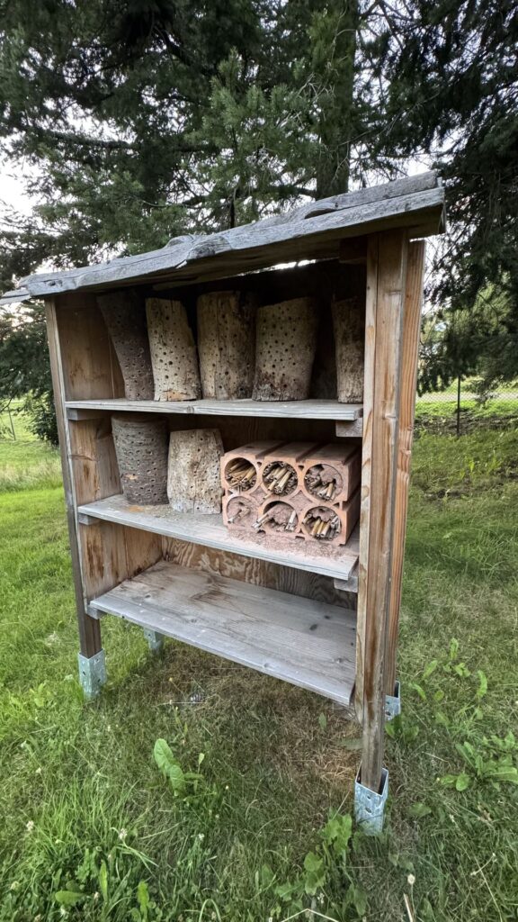
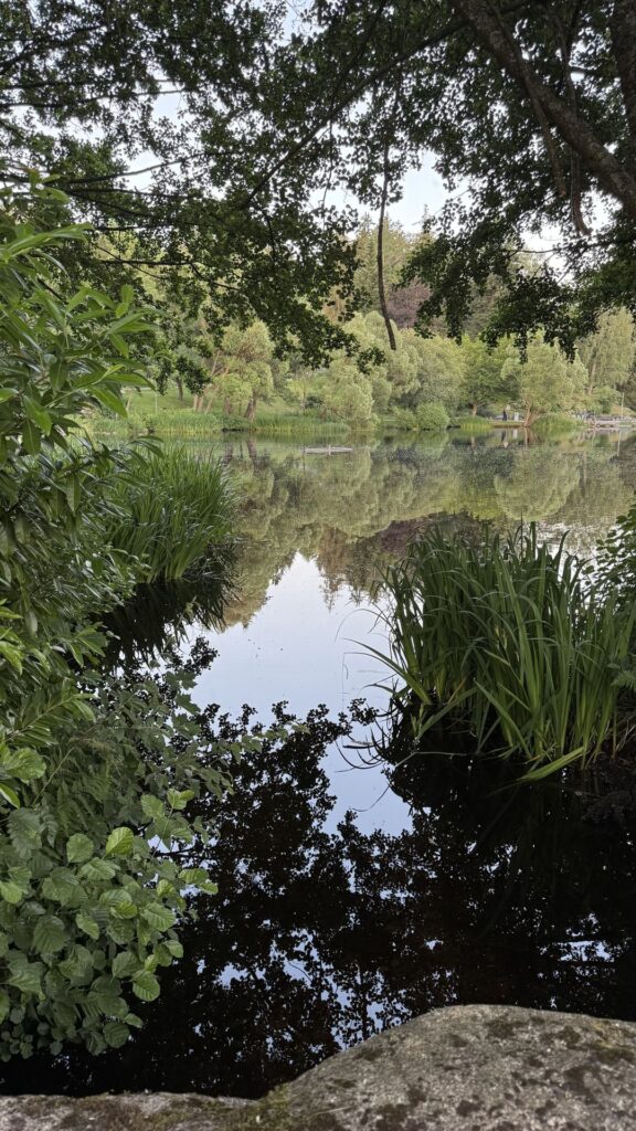
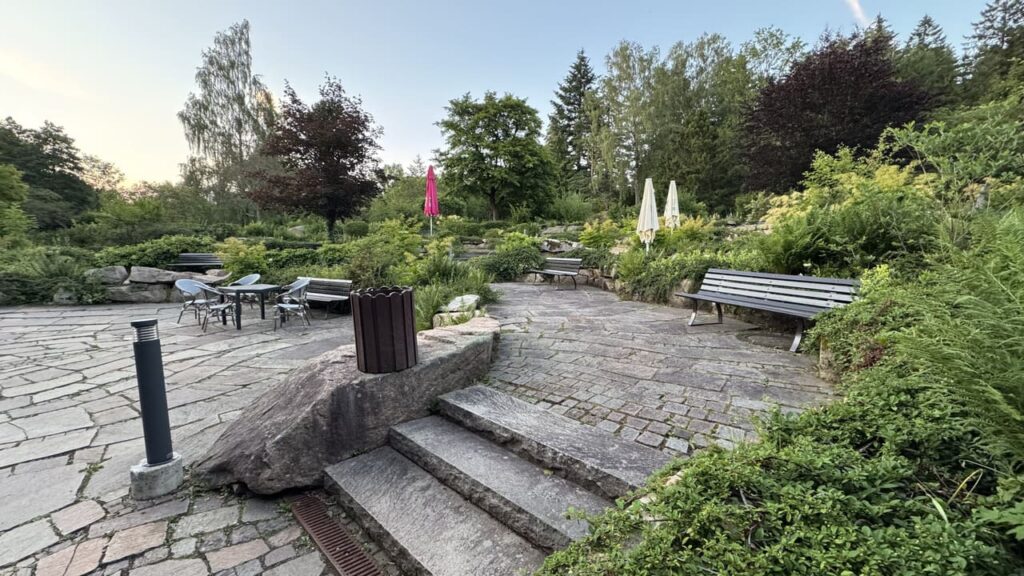
I stayed at Berg & Tal, a great hotel with rooms and apartments right in the center of the village, and from there I could set out on any hike or bike ride without having to drive long distances. That was convenient, because in the Harz Mountains, the difference between a good day and a so-so day often comes down to how early you arrive at the starting point.
Restaurant recommendations in Braunlage: Altes Forsthaus and Harzer Spezialitäten & Brotzeitstube Puppe’s for local meat and cheese specialties
The loop around the Oderteich: about four kilometers, a single trail, no fitness requirements, and yet a varied landscape.
Yes, there are several trails leading to the summit, including one from Torfhaus. Plan on a full day and expect changeable weather at the top.
Absolutely. The B1 Höhenfieber combines the highest peaks of the western Harz Mountains into a single tour, which is also manageable on an e-mountain bike.
From Utrecht, it is about 485 kilometers to Braunlage in the Harz Mountains.

With a passion for travel and photography and over 30 years of experience in the travel industry, I love to share my special nature travel tips. Travel is wonderful and important, you meet new people and cultures and it opens your view of the world.
Just twenty minutes past the coast lies a completely different Málaga Twenty minutes by car from Málaga Airport, the highway turns into a winding road leading into the mountains. The coast disappears behind you, and ahead lie olive and almond trees, karst rocks, and...

Aachen Off Track: A Green City Trip Featuring a Forest, an Organic Garden, and Charlemagne A city with an imperial history, surrounded by forests stretching all the way to the Belgian and Dutch borders. Aachen cannot be taken in at a single glance: its historic...
Gitschberg Jochtal: Hiking in the Summer, Skiing Away from the Crowds in the Winter Eight villages, no well-known name, and yet 300 kilometers of marked hiking trails in the summer and 55 kilometers of ski runs in the winter: that’s the Gitschberg Jochtal, on the...
Get inspired
Are you looking for the most beautiful hiking and biking routes? Or do you want information about traveling by train or advice for the most beautiful road trips through nature. Get inspired for your next trip in green; ideas for planning your own trip or opting for an organized trip.