
Gratis gids 10 verborgen natuurplekken in Europa
Gratis gids 10 verborgen natuurplekken in Europa. Meld je aan voor onze nieuwsbrief en ontvang inspirerende reistips en routes voor je volgende groene reis.

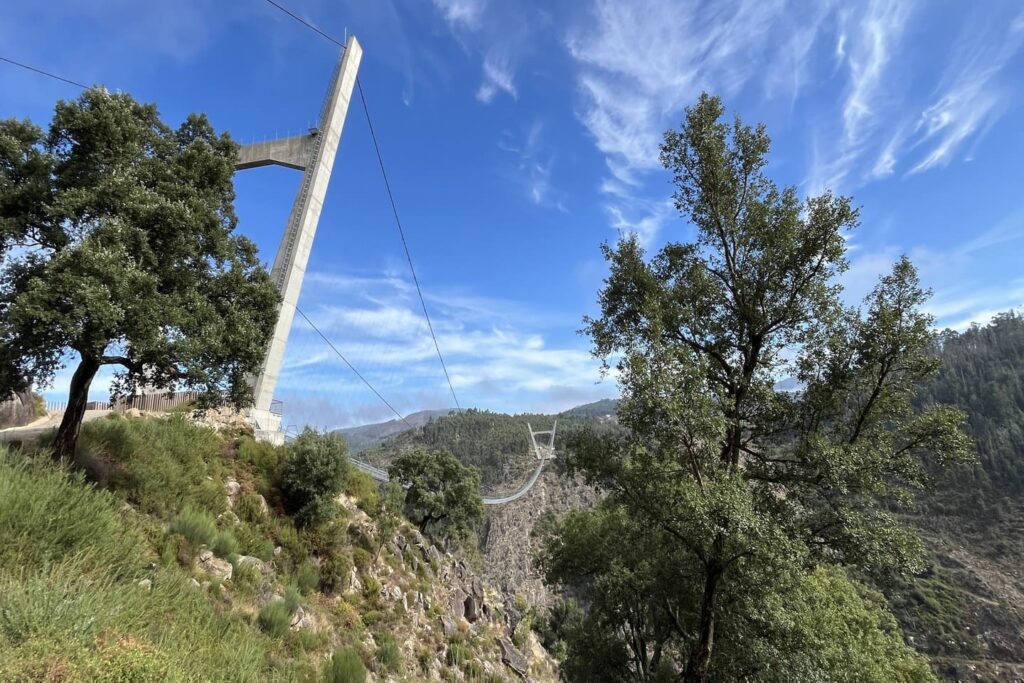
516 meters long, 175 meters above a raging river, and no turning back halfway across. That’s the Arouca 516 suspension bridge, the icon of the Arouca UNESCO Global Geopark. This geopark is less than an hour’s drive from Porto, in the lush north of Portugal, and is one of the country’s most beautiful hiking areas. You’ll find mountains, a deep gorge, waterfalls, rugged rivers, and villages steeped in tradition. Plus, delicious local food and the regional wine, vinho verde.
Ambassador Nathalie walked some of the most spectacular hiking trails there: across the suspension bridge, along the wooden Passadiços do Paiva, and across the granite Freita Plateau. With a fear of heights, a kingfisher, and a well-deserved lunch.
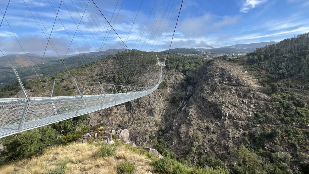
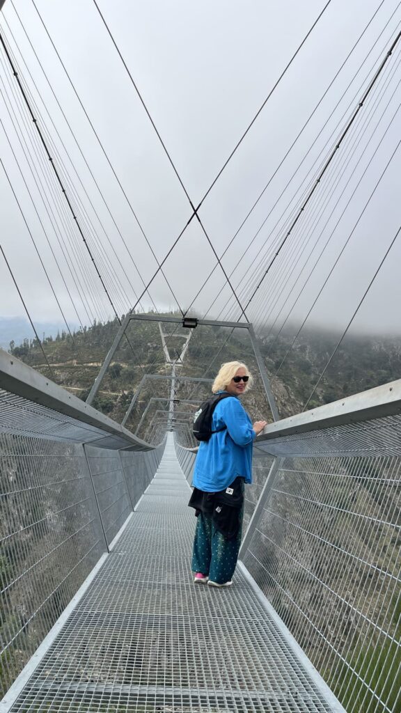
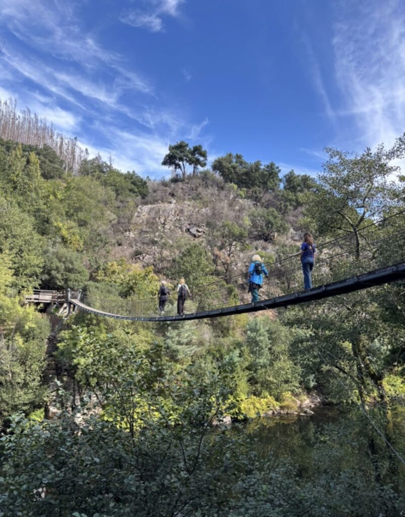
Breathe in, breathe out, I say to myself, almost out loud. As if these words are supposed to reassure me, at a height of 175 meters. I still have nearly 500 meters to go to reach the other side of the imposing gorge. To take my mind off things, I start filming. To my left, I see a waterfall, and the wild Paiva River flows beneath us. Our guide, Pedro, had told us that you can also go rafting on this rain-fed river. But not directly below suspension bridge 516, because that section is Class 6: extremely dangerous, with unpredictable whirlpools and treacherous rocks. Further down the river, it’s perfectly safe for tourists to go rafting.
But first, I need to get to the other side of the suspension bridge. When it opened in 2021, it was still the longest pedestrian suspension bridge in the world. Something the Portuguese in this region were, of course, immensely proud of, but now a suspension bridge in the Czech Republic holds the title. To reassure me a bit, Pedro tells me that he once led a group of tourists—with their eyes closed—almost crawling their way to the other side. Well, I guess it’s not so bad for me after all.
Once I reached the other side, I was chatting away again right away. My fear of heights fell away, and I fully enjoyed the amazing structure in this impressive valley. That’s a true feat of engineering!
Our guide, Pedro, walks ahead of us on the path that leads to the Passadiços do Paiva, which, not very poetically, means “the walking paths along the Paiva River” in Portuguese. The Passadiços do Paiva is a wooden walking trail over 8 kilometers long. Due to severe forest fires, part of the trail is closed, so we can only walk four kilometers. We’ve been promised that the entire trail will be open again in 2027.
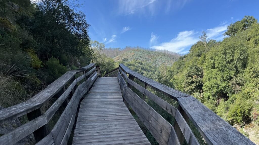
The hike actually starts under the suspension bridge, with a wooden staircase that takes you right down to the river. Pedro tells me that you can also go on an otter excursion here. A specialized guide sets out with a small group early in the morning, searching for otter tracks. That sounds like an amazing experience to me. Halfway down the stairs, I spot some droppings with seeds in them. According to Google Lens, they’re from a stone marten. Cool! Nature here is incredibly rich anyway—from birds of prey like peregrine falcons to mammals like badgers, wild boars, and Iberian wolves (though the latter are found more in the surrounding mountains).
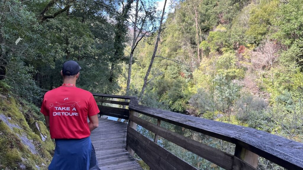
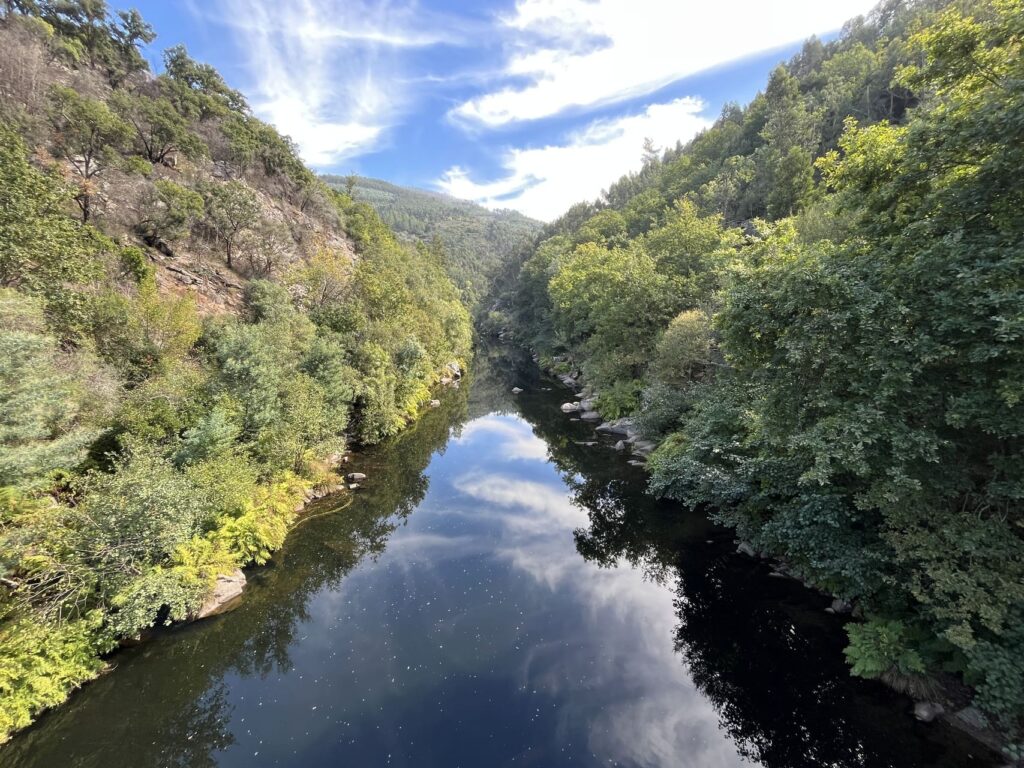
The walk along the river is relaxing, although the wooden planks can be slippery when it has rained or when it’s freezing. We don’t run into many people, so I can enjoy the surroundings in peace. The sun reflects off the fast-flowing water, where huge boulders lie here and there. I immediately realize that rafting here is truly dangerous.
“Look over there, a kingfisher,” someone in our group suddenly exclaims. The little blue bird is startled by the voice, leaves the rock in the river, and flies off. In Portuguese, the kingfisher is called *guarda-rios*, which means “river guard.” What a fitting name! A moment later, we see it again, perched perky on the riverbank, looking out over the water.
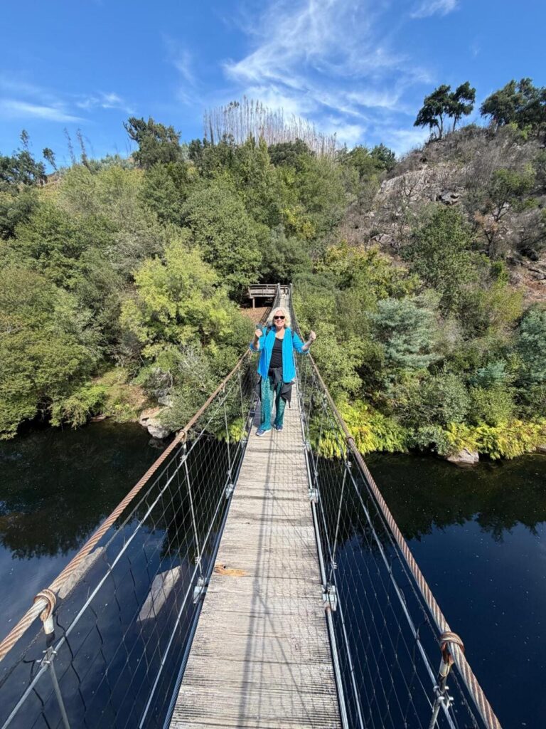
Just before the end of the hike, there’s another small suspension bridge. It’s a piece of cake compared to the 516, although this one sways back and forth much more. On the other side, two dogs are standing at the entrance to the bridge. So we turn back. If you want to hike a route longer than 80 kilometers, you’ll have to continue on from here. A few minutes later, a van picks us up. There are also taxi phone numbers posted everywhere that you can call after your hike.
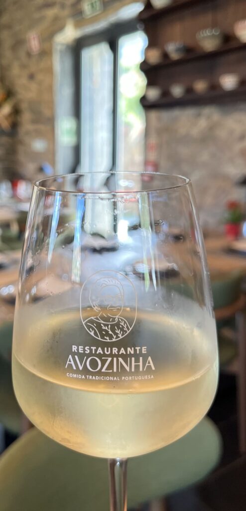
It’s now time for a Portuguese lunch, and of course, a glass of local vinho verde is a must. I think I’ve earned this after risking my life at a height of 175 meters. We stop at Restaurante Avozinha, which means “grandma.” You can probably guess that from the logo featuring an elderly lady. They still cook traditionally here, and you can really taste it. One of grandma’s young (great)grandsons cooks like a dream. That’s why people come from far and wide to eat here. We enjoy a Portuguese stew and the atmosphere.


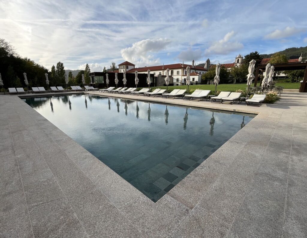
In the afternoon, we’ll travel back in time more than 300 million years. We’re still in the Arouca UNESCO Geopark; the Paiva Gorge is one of its 41 geosites. We’re standing at a windy overlook, Detrelo da Malhada (geosite 1), where we’ll learn about the geosites and the park. From this high vantage point, you can see the Arouca Valley, a monastery (which was recently converted into a tastefully decorated 5-star hotel), and the town center. And on a clear day, you can even see the mountain ranges of Portugal’s only national park, Peneda-Gerês.
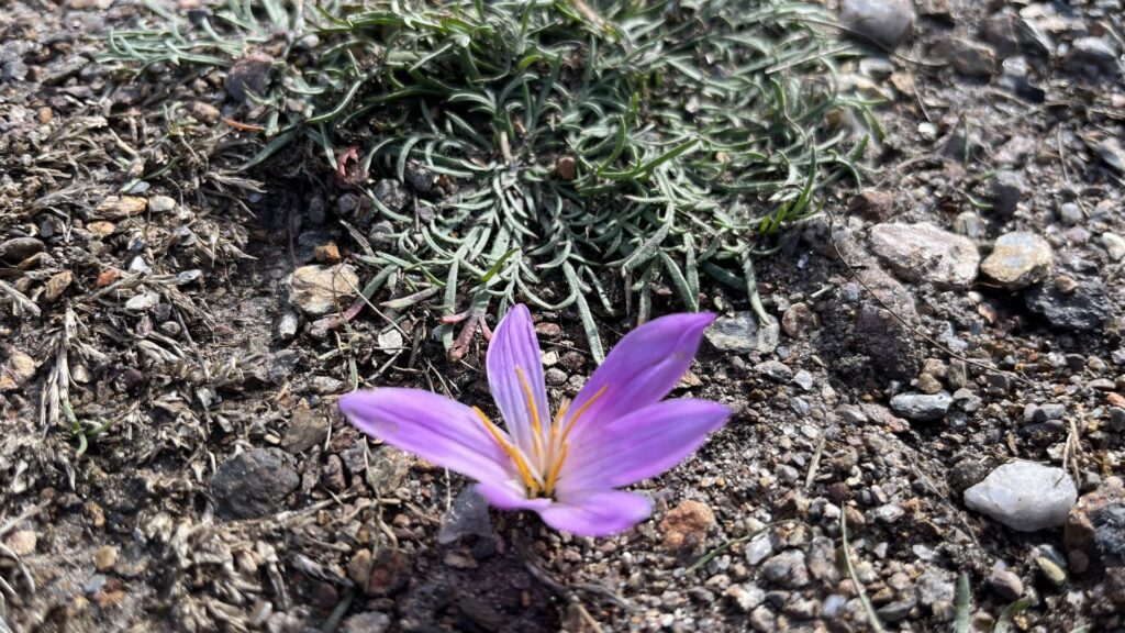
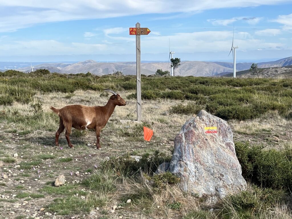
A little further on, a shepherd walks with his goats, using a long stick; the goats all seem to be wandering aimlessly. A special mountain dog, used to protect the herd from wolves, lies there (seemingly) lazily watching. He’s keeping a close eye on us, though. Everywhere among the rocky ground, you can see purple flowers with yellow stamens. They resemble crocuses, but they’re autumn crocuses. As the name suggests, these flowers bloom in the fall.
Let’s go back to geology for a moment: in a geopark, you’ll find unique sites of geological interest, such as remarkable rocks and fossils. In the past, these areas may have been primarily a paradise for scientists, but now, even as a tourist, you can learn more about the area’s history—which spans millions of years—in an accessible way. Simply scan a QR code at the geosite.
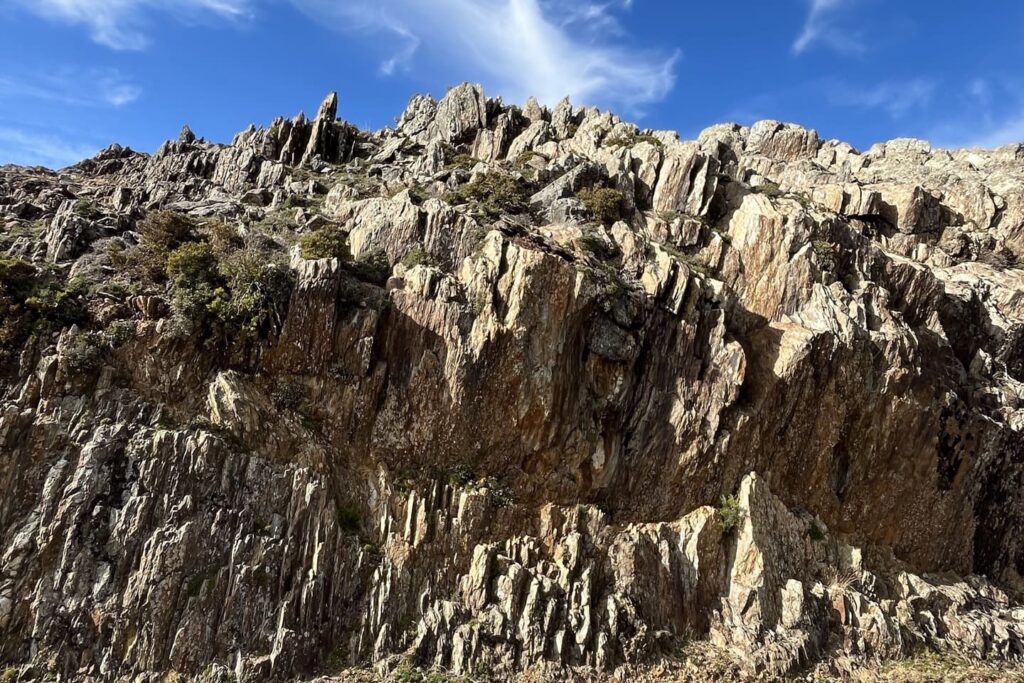
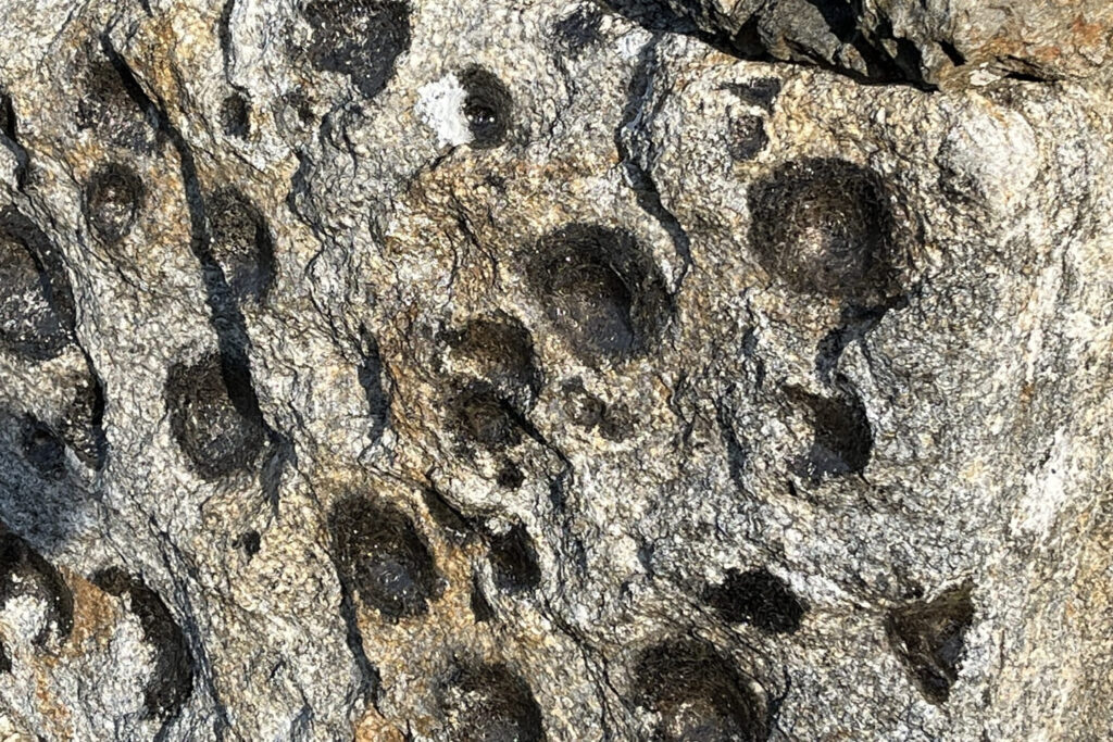
One of the most remarkable geosites in the Serra da Freita is located near the village of Castanheira: the Pedras Parideiras, or “child-bearing stones.” The granite, which is about 310 to 320 million years old, contains dark nodules that break away due to weathering. They leave behind a hollow, as if the rock were giving birth to a small stone. This phenomenon is virtually unique in the world. At the Casa das Pedras Parideiras visitor center in Castanheira, you can learn how it works.
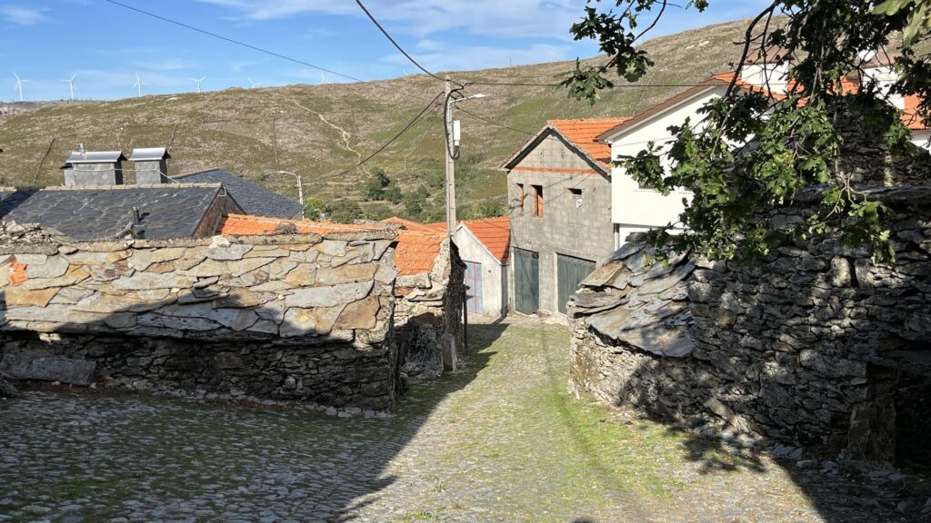
One of the Geopark’s geotourism hiking trails passes by Detrelo da Malhada. The PR16 São Pedro Velho is a short, 12-kilometer loop trail (PR) that takes you through the granite landscape of the Freita Plateau.
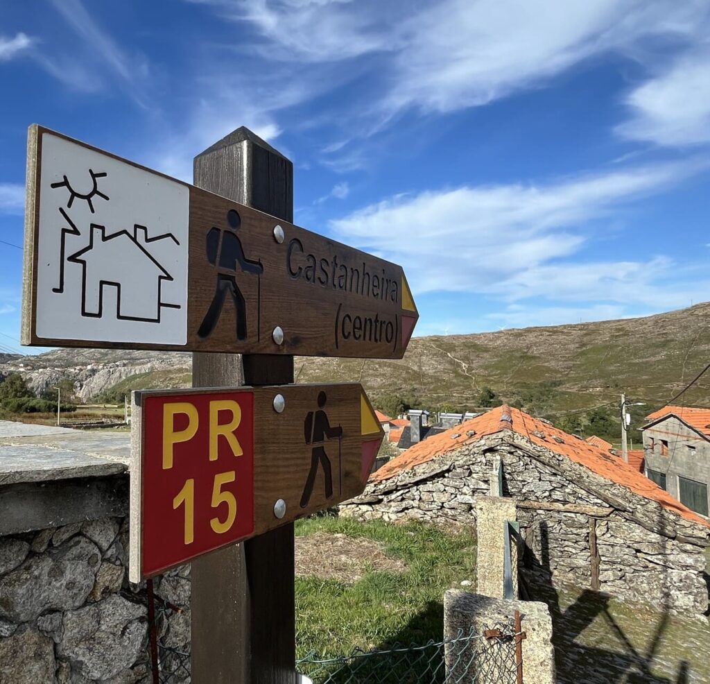
If you’d like to explore the Geopark further, you can choose from 14 shorter hikes (PR) and the long-distance hiking trail GR28. You’ll pass unique geosites, such as Mizarela, where the Frecha da Mizarela waterfall is one of the highest on the Portuguese mainland. This loop hike is 8 kilometers long. It may seem like a piece of cake, but make no mistake: this is a challenging, yet very varied hike. We recommend going with an enthusiastic guide like Pedro (who speaks excellent English) from the local tour operator Detours.
GR28: Long-distance trail through the geopark
This isn’t the only hiking paradise in the north. In the lush northwest, on the border with Spain, lies Peneda-Gerês, Portugal’s only national park. It’s comparable in size to our Veluwe, but features four major mountain ranges, waterfalls, and vast forests. Bears once lived here, and biodiversity remains high. Think of the Iberian wolf, birds of prey, reptiles, and unique plant species.
It is located in northern Portugal, in the Aveiro district, less than an hour’s drive southeast of Porto. The town is the heart of the Arouca UNESCO Global Geopark, a mountainous region featuring gorges, waterfalls, rivers, and traditional villages.
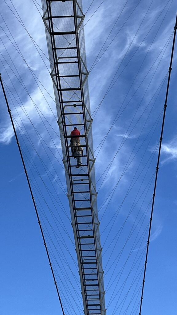
The pedestrian suspension bridge is 516 meters long and spans the Paiva River at a height of 175 meters. When it opened in 2021, it was the longest pedestrian suspension bridge in the world. The Sky Bridge 721 in the Czech Republic is now longer.
The Passadiços do Paiva is a wooden walking trail stretching over 8 kilometers along the Paiva River. Due to severe forest fires, part of the trail has been damaged and closed. When Ambassador Nathalie was there, she was able to walk about 4 kilometers. According to the local guide, the entire trail will reopen in 2027. Check the official website in advance for the latest information.
Yes, you must purchase a ticket in advance for both the Arouca 516 suspension bridge and the Passadiços do Paiva, preferably online. You’ll visit the suspension bridge as part of a guided tour, with time slots.
It’s possible, though it’s a bit nerve-wracking. Nathalie had a hard time during the first few meters, but once she reached the other side, her fear of heights had disappeared. According to guide Pedro, even someone who goes with their eyes closed and practically crawls can make it across. Tip: Focus on the view or start filming.
The Pedras Parideiras, literally “the birthing stones,” are granite cliffs near the village of Castanheira on the Serra da Freita. Dark nodules break away from the granite—which is about 310 to 320 million years old—due to weathering, as if the rock were giving birth to a stone. It is one of the most remarkable geosites in the Arouca Geopark.
Arouca Geopark has 14 shorter, marked hiking trails (PR) and the long-distance trail GR28. Well-known routes include the Passadiços do Paiva, the PR16 São Pedro Velho (12 kilometers, a loop across the Freita Plateau), and the challenging route along the Frecha da Mizarela waterfall (8 kilometers, a loop).
Spring and fall are ideal: pleasant temperatures, fewer crowds, and in the fall, colchicum flowers bloom on the Freita Plateau. In the summer, it can get hot, and the risk of wildfires is higher. After rain or during frost, the wooden planks of the Passadiços can be slippery.

With a passion for travel and photography and over 30 years of experience in the travel industry, I love to share my special nature travel tips. Travel is wonderful and important, you meet new people and cultures and it opens your view of the world.
Hiking along the Opal Coast: 3 Days on the GR120 Vast beaches, seawater in the most beautiful shades of blue, green fields. Hiking along the Opal Coast means becoming one with nature—with a touch of history here and there. In short: the Opal Coast on foot Route:...
Dovrefjell in the Fall: Musk Ox Safari from Oppdal A musk ox doesn't run away. If danger threatens, it either stands its ground or charges right at it. That works against a wolf, but not against a train. That's what our guide, Hannes, tells us as we walk across the...
Hiking to Trondheim along ancient pilgrimage trails What’s it like to hike for days along ancient pilgrimage trails to Trondheim? During a trip through Sweden and Norway, I hiked several sections of the St. Olavsleden. From the open border mountains near Skalstugan to...
Get inspired
Are you looking for the most beautiful hiking and biking routes? Or do you want information about traveling by train or advice for the most beautiful road trips through nature. Get inspired for your next trip in green; ideas for planning your own trip or opting for an organized trip.